


.png)

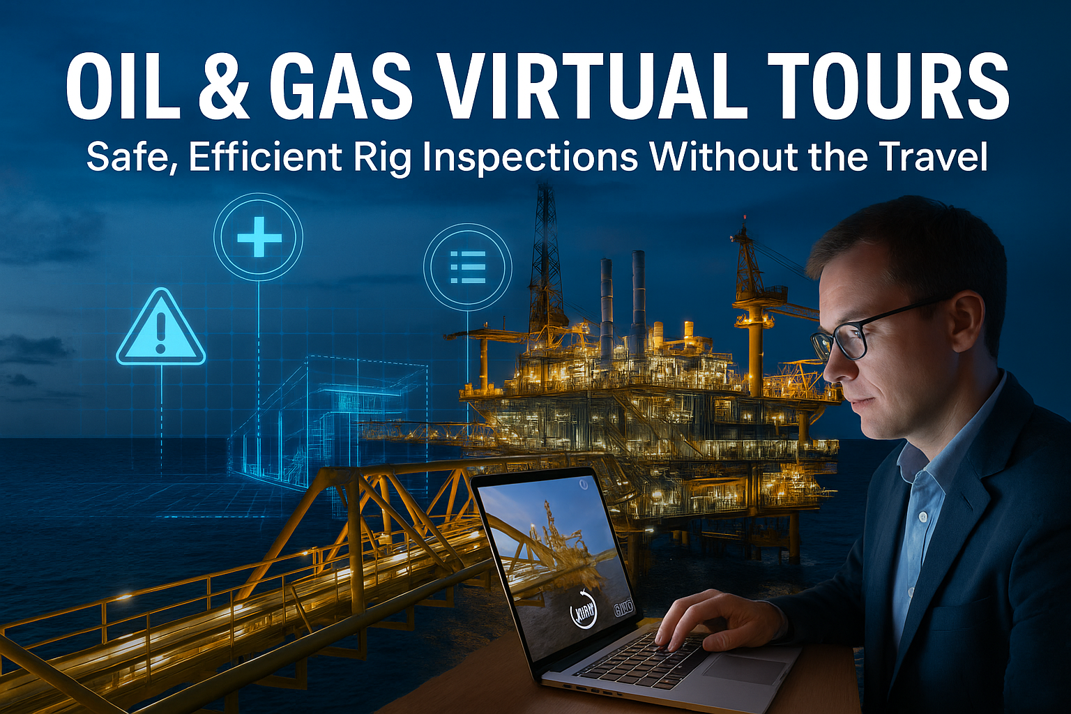
Inspecting oil and gas rigs—whether offshore platforms, refinery towers, or remote pipelines—requires time, planning, and money. More importantly, it puts personnel in high-risk environments. 🚨
But what if you could visually inspect any rig, anytime, from anywhere—with full clarity and team collaboration?
Oil & Gas virtual tours make that possible. And they’re transforming how the energy industry handles inspections in 2025.
A 360° virtual tour is a high-resolution, interactive walkthrough of a real-world oil and gas facility—captured with 360° cameras or drones.
With a platform like CloudPano, these virtual tours become more than visuals—they become interactive inspection environments for engineers, inspectors, and operations leads. 🧰
✅ Walk the rig virtually
✅ Annotate and tag concerns
✅ Collaborate in real time
✅ Measure distances, verify clearances
✅ Document safety and compliance
No flights. No boots on deck. Just total visibility from your laptop. 💻
Avoid exposing staff to confined spaces, heights, or high-pressure zones. Inspect from a distance and reduce in-person risk.
🔗 Related: Smarter Oil Rig Inspections with 360° Virtual Tours
Flying an engineer to a rig can cost thousands. Multiply that by departments or vendors—and the budget blows up. Virtual tours eliminate those expenses.
🔗 Related: Cut Travel Costs: Explore Oil & Gas Rigs with 360° Virtual Tours
Compliance officers and safety inspectors can walk the site virtually, tag violations, and share reports—without scheduling site visits or waiting for access.
Teams across departments can join the same virtual walkthrough, annotate issues, create punch lists, and track repairs in real time.
🔗 Related: Boost Team Efficiency with Collaborative Virtual Tours in Oil & Gas Operations
Use captured rig tours to onboard new team members or contractors. Let them explore the environment virtually before arriving on site.
🔗 Related: Oil Rig Onboarding Simplified with Interactive Virtual Tours
Companies adopting CloudPano-powered virtual inspections report:
🔗 Related: How Engineers Use 360° Virtual Tours to Optimize Oil & Gas Projects
Whether it’s for compliance, training, planning, or inspection, virtual tours are becoming a standard operating tool for oil and gas pros.
You don’t need complex software or a giant team.
Here’s what you need:

Compact, ready to go anywhere
Interchangeable lens that’s upgradeable
Dual 1-inch sensors for improved clarity and low light performance
Dynamic range and 6K 360° capture
360° photo resolution at 21MP

8K 360° video recording for ultra-detailed visuals.
4K single-lens mode for traditional wide-angle shots.
Invisible selfie stick effect for drone-like perspectives.
2.5-inch touchscreen with Gorilla Glass protection.
Waterproof up to 33ft for underwater shooting.

360° photo resolution in 23MP
Slim design at 24 mm thick
Built-in image stabilization for smooth video capture.
Internal 19GB storage for photo and video storage.
Wireless connectivity for remote control and sharing.

60MP 360° still images for high-resolution photography.
5.7K 360° video recording at 30fps.
2.25-inch touchscreen for intuitive control.
USB Type-C port for fast charging and data transfer.
MicroSD card slot for expandable storage.
.png)
.png)

Try it free. No credit card required. Instant set-up.


