How Engineers Use 360° Virtual Tours to Optimize Oil & Gas Projects

Cloudpano
July 27, 2025
5 min read
Share this post

🔍 How Engineers Use 360° Virtual Tours to Optimize Oil & Gas Projects

⚙️ Introduction: Engineering Meets Immersive Tech

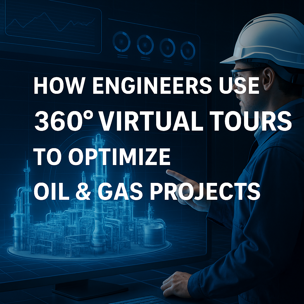
In the complex world of oil and gas, where every detail matters and every delay costs money, engineers are turning to a powerful tool to drive smarter, faster decisions: 360° virtual tours.

These immersive, interactive site models go beyond documentation—they’re transforming project planning, team coordination, and execution. Whether you're building upstream, midstream, or downstream assets, this visual technology helps engineers optimize every stage of a project without ever stepping on-site.

Let’s explore exactly how engineers are using 360° virtual tours to streamline oil and gas development 🚀💡

🛠️ What Are 360° Virtual Tours?

360° virtual tours are high-resolution, panoramic digital models of real-world environments. Using drones or stationary 360° cameras, teams can capture entire sites, then view and interact with them from any device.

With platforms like CloudPano, these tours become collaborative tools—allowing engineers to:

  • Walk a site remotely 🏗️
  • Tag equipment and hazards 🏷️
  • Annotate design plans visually 📐
  • Track project milestones in real time ⏱️
  • Reduce unnecessary field visits ✈️

🔍 Key Engineering Benefits of 360° Virtual Tours

Let’s break down how engineers are optimizing projects using this tech:

1. 📐 Design Validation and Clash Detection

Engineers can validate layouts and detect spatial conflicts early by visually overlaying plans onto real-world images.

🧠 Related: Virtual Site Tours: Streamlining Oil and Gas Project Oversight

2. 🧰 Remote Site Walkthroughs

Remote engineers can walk through the site, assess terrain, verify clearances, and prepare installation teams—all without travel.

🌎 Related: From Field to Screen: Reviewing Oil & Gas Sites with Virtual Tour Technology

3. 🔄 Real-Time Progress Updates

Weekly 360° captures allow engineering leads to track site progress, align with contractors, and flag deviations.

4. 🤝 Cross-Team Collaboration

Multiple departments—engineering, safety, operations—can collaborate on the same visual data, improving alignment and accountability.

👷 Related: Revolutionizing Engineering: Collaborative Virtual Walkthroughs for Oil & Gas Sites

5. 🧯 Safety Planning and Training

Engineers can identify hazards, plan safety barriers, and even train new staff using real visuals from the site.

🛡️ Related: Oil Rig Onboarding Simplified with Interactive Virtual Tours

🔄 Integration With Engineering Tools

360° virtual tours don’t replace engineering software—they enhance it.

  • ✅ Overlay P&IDs and CAD drawings
  • ✅ Integrate with BIM models
  • ✅ Use hotspots to connect documentation
  • ✅ Export measurements and distances

By combining immersive visuals with engineering precision, teams can accelerate timelines and reduce rework.

📈 Results From the Field

🔹 A pipeline engineering team reduced travel by 80% while increasing site review frequency 3x.
🔹 A refinery construction project used CloudPano for virtual punch list walks, cutting rework by 35%.
🔹 A midstream company used 360° tours to virtually stage new equipment before fabrication.

🏗️ Related: Inside Look: Reviewing Oil and Gas Facilities with 360° Virtual Tours

🧭 Who’s Using This Now?

These types of immersive engineering tools are being used by:

  • 🛢️ Project engineers and drafters
  • 🏗️ EPC contractors
  • 🧪 Process engineers
  • 📊 Project managers and schedulers
  • 🧑‍🏭 Fabrication and QA/QC teams

And as tech adoption grows, we’re seeing even more use cases emerge across commissioning, inspections, and regulatory compliance.

🧠 Future-Forward Engineering Starts Now

The days of relying on static blueprints and outdated photos are gone. With 360° virtual tours, engineers have a live, visual source of truth that evolves with the project—and enables collaboration at a whole new level.

Want to see it in action?

Share this post
Cloudpano

Choose The Right 360° Camera

Insta360 ONE RS 1-Inch 360 Edition

  • Compact, ready to go anywhere

  • Interchangeable lens that’s upgradeable

  • Dual 1-inch sensors for improved clarity and low light performance

  • Dynamic range and 6K 360° capture

  • 360° photo resolution at 21MP

Learn More

Insta360 X4

  • 8K 360° video recording for ultra-detailed visuals.

  • 4K single-lens mode for traditional wide-angle shots.

  • Invisible selfie stick effect for drone-like perspectives.

  • 2.5-inch touchscreen with Gorilla Glass protection.

  • Waterproof up to 33ft for underwater shooting.

Learn More

Ricoh Theta Z1

  • 360° photo resolution in 23MP

  • Slim design at 24 mm thick

  • Built-in image stabilization for smooth video capture.

  • Internal 19GB storage for photo and video storage.

  • Wireless connectivity for remote control and sharing.

Learn More

Ricoh Theta X

  • 60MP 360° still images for high-resolution photography.

  • 5.7K 360° video recording at 30fps.

  • 2.25-inch touchscreen for intuitive control.

  • USB Type-C port for fast charging and data transfer.

  • MicroSD card slot for expandable storage.

Learn More
Property Marketing
Allows potential buyers to explore properties in detail from anywhere, enhancing the real estate marketing process.
Automotive Spins
Create an interactive virtual showroom and engage affluent digital buyers with live 360º video calls, all through the CloudPano mobile app for a complete automotive sales solution.
Interactive Floor Plans
Create 2D and 3D floor plans with measurements in 4 minutes or less, all from your phone. Download the Floor Plan Scanner app and get your first scan free.

360 Virtual Tours With CloudPano.com. Get Started Today.

Try it free. No credit card required. Instant set-up.

Try it free
Latest posts

See our other posts

Interviews, tips, guides, industry best practices, and news.

The Hidden Advantage of NTREIS Access for Real Estate Professionals

This guide uncovers the hidden advantages of NTREIS access, showing how agents are using it to predict trends, price properties accurately, and outperform competitors. Learn how to use real-time market intelligence, detailed CMA tools, and seamless integrations with AI platforms like PhotoAIVideo.com, CloudPano, and Pictastic.ai to transform listings into digital experiences buyers can’t ignore. 🚀
Read post

Best AI Voiceover Examples for Real Estate Agents

AI voiceovers are transforming real estate marketing, helping agents create professional, engaging property videos in minutes. 🎙️🏡 From luxury home tours to social media ads, AI-generated narrations bring listings to life with emotion, clarity, and consistency. This blog highlights the best AI voiceover examples for real estate agents, explaining how they enhance storytelling, save time, and boost engagement across every platform — all without the need for expensive equipment or recording studios.
Read post

Top Benefits of Joining the MIAMI Association of REALTORS®

The MIAMI Association of REALTORS® is the largest local Realtor association in the U.S., representing over 60,000 members across South Florida. Joining MIAMI REALTORS® offers agents and brokers far more than MLS access—it’s a gateway to global exposure, advanced technology, professional training, and powerful networking opportunities. Members can market listings with 360° virtual tours, AI property videos, IDX websites, and branded reports, giving them a competitive edge in one of the most dynamic real estate markets in the world. This complete guide breaks down the top benefits of MIAMI REALTORS® membership, from international buyer connections and luxury market advantages to advocacy and cost-effective growth tools. You’ll also see how MIAMI compares to other MLS platforms like Stellar MLS and FMLS, and why South Florida professionals rely on it to scale their business. Whether you’re just starting your real estate career or looking to expand your reach, MIAMI REALTORS® membership is a proven path to success.
Read post