Cut Travel Costs: Explore Oil & Gas Rigs with 360° Virtual Tours

Cloudpano
July 27, 2025
5 min read
Share this post

✈️ Cut Travel Costs: Explore Oil & Gas Rigs with 360° Virtual Tours

🛢️ The High Cost of Field Travel in Oil & Gas

Flying personnel to offshore rigs, remote pipelines, or desert installations is expensive—not to mention risky and time-consuming. Travel-related costs in oil and gas can eat up a massive portion of operational budgets 💸:

  • ✈️ Flights and helicopter charters
  • 🏨 Lodging and per diem
  • 🧯 Safety clearances and onboarding
  • 🕒 Lost productivity in transit

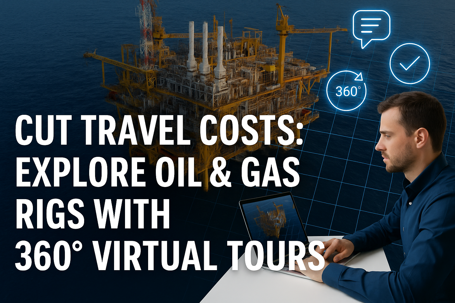
What if you could eliminate 70% of those costs—while still giving your team complete visual access to every part of the rig?

360° virtual tours make that possible. 🌍👷‍♂️

📸 What Are 360° Rig Virtual Tours?

360° virtual tours are immersive, interactive walkthroughs of real-world oil and gas sites—captured with 360° cameras or drones. Using platforms like CloudPano, you can explore these environments from any laptop, phone, or headset.

Instead of booking flights, your team can:

  • 🚁 Walk through an offshore rig from their desk
  • 👁️ Inspect equipment remotely
  • 📝 Leave annotations and comments
  • 🤝 Collaborate with engineers, vendors, or regulators
  • 📊 Conduct training and safety reviews virtually

It’s the ultimate travel cost-saver—without compromising visibility or performance.

🧠 Where Virtual Tours Save the Most Money

Let’s break down exactly how 360° rig tours reduce travel costs across departments:

1. 🛠️ Remote Engineering Walkthroughs

Engineers no longer need to visit the rig to validate equipment placement or design clearances. They can inspect in 360°, measure digitally, and verify remotely.

🔗 Related: Inside the Pipeline: Engineering-Ready Virtual Walkthroughs for Oil & Gas Sites

2. ✅ Safety & Compliance Inspections

Safety teams can review ladders, barriers, walkways, and fire suppression systems in a virtual tour—saving time and avoiding unnecessary travel.

3. 📅 Vendor Pre-Mobilization Reviews

Instead of flying in vendors to “walk the site,” send them a 360° tour. They’ll arrive prepared with zero guesswork—saving time and reducing field errors.

🔗 Related: Boost Team Efficiency with Collaborative Virtual Tours in Oil & Gas Operations

4. 🧑‍🏫 Onboarding and Training

New hires can explore the rig virtually before stepping foot onsite. That means faster onboarding, reduced safety risk, and lower orientation costs.

🔗 Related: Oil Rig Onboarding Simplified with Interactive Virtual Tours

5. 🧰 Remote Punch Lists and Closeouts

Use 360° views to tag issues, verify fixes, and sign off from anywhere in the world. No travel, no delays.

🔗 Related: Inside Look: Reviewing Oil and Gas Facilities with 360° Virtual Tours

💼 Real Savings in Action

Companies using CloudPano’s 360° virtual tour solution have reported:

  • $250K saved annually on reduced inspection travel
  • Fewer rig visits needed for engineers and safety officers
  • Faster vendor mobilization, with less downtime
  • Improved training efficiency—cutting onboarding time in half

🔗 Related: How Engineers Use 360° Virtual Tours to Optimize Oil & Gas Projects

✨ Bonus Benefits

In addition to slashing travel costs, virtual rig tours improve:

  • 🚨 Safety planning and hazard identification
  • 🧾 Visual documentation for compliance and audits
  • 🤝 Internal team alignment and cross-department collaboration
  • 🕶️ VR compatibility for immersive hands-on training

🚀 How to Get Started

You don’t need an army of developers or an expensive tech stack. Just:

  1. 📷 Capture your rig or facility with a 360° camera or drone
  2. ⬆️ Upload it to CloudPano’s platform
  3. 🔗 Share a private tour link with your team or stakeholders

You’ll be cutting travel expenses—and improving operational efficiency—by the end of the week.

Share this post
Cloudpano

Choose The Right 360° Camera

Insta360 ONE RS 1-Inch 360 Edition

  • Compact, ready to go anywhere

  • Interchangeable lens that’s upgradeable

  • Dual 1-inch sensors for improved clarity and low light performance

  • Dynamic range and 6K 360° capture

  • 360° photo resolution at 21MP

Learn More

Insta360 X4

  • 8K 360° video recording for ultra-detailed visuals.

  • 4K single-lens mode for traditional wide-angle shots.

  • Invisible selfie stick effect for drone-like perspectives.

  • 2.5-inch touchscreen with Gorilla Glass protection.

  • Waterproof up to 33ft for underwater shooting.

Learn More

Ricoh Theta Z1

  • 360° photo resolution in 23MP

  • Slim design at 24 mm thick

  • Built-in image stabilization for smooth video capture.

  • Internal 19GB storage for photo and video storage.

  • Wireless connectivity for remote control and sharing.

Learn More

Ricoh Theta X

  • 60MP 360° still images for high-resolution photography.

  • 5.7K 360° video recording at 30fps.

  • 2.25-inch touchscreen for intuitive control.

  • USB Type-C port for fast charging and data transfer.

  • MicroSD card slot for expandable storage.

Learn More
Property Marketing
Allows potential buyers to explore properties in detail from anywhere, enhancing the real estate marketing process.
Automotive Spins
Create an interactive virtual showroom and engage affluent digital buyers with live 360º video calls, all through the CloudPano mobile app for a complete automotive sales solution.
Interactive Floor Plans
Create 2D and 3D floor plans with measurements in 4 minutes or less, all from your phone. Download the Floor Plan Scanner app and get your first scan free.

360 Virtual Tours With CloudPano.com. Get Started Today.

Try it free. No credit card required. Instant set-up.

Try it free
Latest posts

See our other posts

Interviews, tips, guides, industry best practices, and news.

Hardware to Software: Perfecting Real Estate Mobile-to-Desktop 3D Documentation

The article addresses the critical "Data Gap" in property management, insurance, and restoration. It argues that traditional manual measurements (tape and paper) are no longer just slow—they are a liability. By moving to a Scan-to-Sketch Workflow, firms can decouple their growth from their headcount.
Read post

Building Interactive 3D Real Estate Property Reports for Stakeholder Review

This long-form guide positions CloudPano 3D Measure as the definitive ROI-driven solution for property managers, insurance adjusters, and restoration professionals.
Read post

The Science of Real Estate Virtual Room Perimeter Scaling in 3D Environments

CloudPano 3D Measure is redefining spatial documentation for property professionals. This post explores the technical shift from manual tape measurements to Virtual Room Perimeter Scaling, a process that converts 360° imagery into precise, actionable data.
Read post