Matterport Alternative for Drone Virtual Tours That Wow Clients

Cloudpano
August 9, 2025
5 min read
Share this post

🚁 Matterport Alternative for Drone Virtual Tours That Wow Clients: Why CloudPano Leads the Way

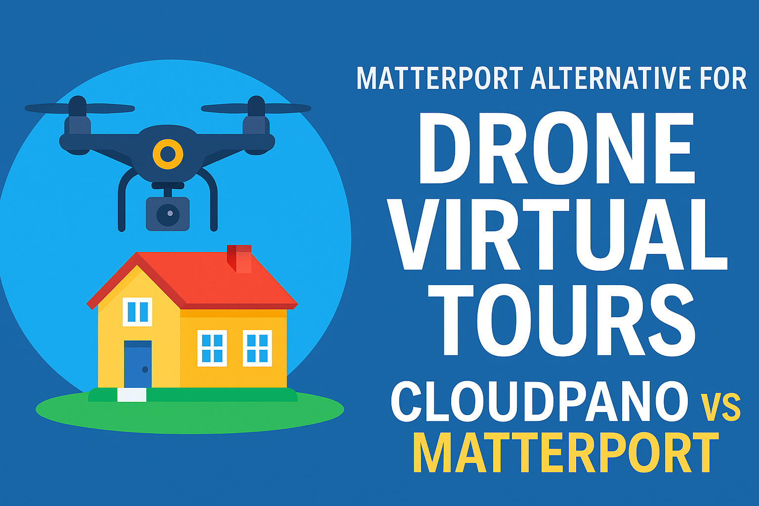
When it comes to delivering jaw-dropping drone virtual tours, your platform matters just as much as your aerial footage. While Matterport has long been a popular choice, it’s not always the best fit for drone-based projects — especially if you want full creative control and better pricing options.

This is why so many professionals are turning to CloudPano vs Matterport: The Best Virtual Tour Solution for Real Estate Agents and finding that CloudPano wins when flexibility and client wow-factor are the priority.

In this post, you’ll discover:

  • Why drone tours are the ultimate marketing tool in 2025 🌍
  • The key differences between CloudPano and Matterport for aerial content 🚀
  • How to maximize engagement with interactive features and integrations
  • Internal resources from our Matterport alternative library to help you dive deeper

🌟 Why Drone Virtual Tours Are Dominating in 2025

Drone tours offer a cinematic bird’s-eye view that’s impossible to match with ground photography alone. They:

  • 📏 Show property scale in a single sweeping shot
  • 🌳 Highlight landscapes, waterfronts, and unique terrain
  • 🏙️ Reveal the surrounding neighborhood or commercial area
  • 📸 Create shareable, high-impact visuals for listings and promotions

For real estate pros, developers, and tourism marketers, this is next-level marketing. But the problem? Not all platforms are built to handle drone-based content with ease.

That’s where CloudPano steps in — a point we break down in Matterport vs CloudPano: Which Virtual Tour Software Offers More Flexibility?.

🚀 Why CloudPano Outshines Matterport for Drone Tours

If your business depends on high-quality drone tours, CloudPano delivers features Matterport can’t match.

1️⃣ Freedom to Use Any Camera or Workflow

Matterport often ties you to proprietary hardware. CloudPano works with any 360° drone camera or stitched panorama, as highlighted in DIY Virtual Tour Solutions: The Matterport Alternative for Real Estate Photographers.

2️⃣ Advanced Hotspot & Branding Tools

You can add clickable info points, videos, or PDFs directly in your tour — letting you create immersive experiences for buyers or investors. See how these branding tools give you a competitive edge in Best Matterport Alternative for Large-Scale Commercial Real Estate Projects.

3️⃣ Google Street View Publishing 🌐

CloudPano makes it easy to publish drone panoramas to Google Street View — a feature Matterport users often find more limited. For a deep dive, check out CloudPano: The Leading Matterport Alternative with Google Street View Uploads.

4️⃣ Better Pricing for Scaling 💰

Hosting multiple drone tours on Matterport can quickly get expensive. CloudPano’s flat or one-time pricing makes it ideal for teams producing high tour volumes, as covered in Top Virtual Tour Software Like Matterport for Small Real Estate Businesses.

5️⃣ Perfect Hybrid Tours (Drone + Ground)

Blend aerial shots with interior 360° images for a seamless story from sky to floor. This hybrid approach is explored in Top Matterport Alternative for Aerial Drone Virtual Tours.

🛠 How to Create a Drone Tour in CloudPano

  1. Capture 360° Panoramas with Your Drone — Any 360 drone camera or stitched images will work.
  2. Upload to CloudPano — Drag-and-drop simplicity with no hardware lock-in.
  3. Add Customization — Hotspots, info labels, and embedded media.
  4. Publish Anywhere — Share via link, embed on your site, or upload to Google Street View.

💡 Pro Tips to Wow Clients

  • Mix Perspectives: Combine aerial shots with walk-through tours — more engagement, more leads.
  • Highlight Unique Angles: Pools, rooftop decks, acreage boundaries.
  • Integrate Info Points: Show zoning info, nearby attractions, or lot dimensions.

🏆 Why Professionals Are Switching

From Best Matterport Alternatives for Realtors: How CloudPano Delivers More Value to Why Small Real Estate Businesses Are Switching from Matterport to CloudPano, the trend is clear:

  • Flexibility to use existing equipment
  • Custom branding for client-facing materials
  • Lower hosting costs without sacrificing quality
  • Faster publishing to multiple platforms

📢 Ready to Elevate Your Drone Tours?

Share this post
Cloudpano

Choose The Right 360° Camera

Insta360 ONE RS 1-Inch 360 Edition

  • Compact, ready to go anywhere

  • Interchangeable lens that’s upgradeable

  • Dual 1-inch sensors for improved clarity and low light performance

  • Dynamic range and 6K 360° capture

  • 360° photo resolution at 21MP

Learn More

Insta360 X4

  • 8K 360° video recording for ultra-detailed visuals.

  • 4K single-lens mode for traditional wide-angle shots.

  • Invisible selfie stick effect for drone-like perspectives.

  • 2.5-inch touchscreen with Gorilla Glass protection.

  • Waterproof up to 33ft for underwater shooting.

Learn More

Ricoh Theta Z1

  • 360° photo resolution in 23MP

  • Slim design at 24 mm thick

  • Built-in image stabilization for smooth video capture.

  • Internal 19GB storage for photo and video storage.

  • Wireless connectivity for remote control and sharing.

Learn More

Ricoh Theta X

  • 60MP 360° still images for high-resolution photography.

  • 5.7K 360° video recording at 30fps.

  • 2.25-inch touchscreen for intuitive control.

  • USB Type-C port for fast charging and data transfer.

  • MicroSD card slot for expandable storage.

Learn More
Property Marketing
Allows potential buyers to explore properties in detail from anywhere, enhancing the real estate marketing process.
Automotive Spins
Create an interactive virtual showroom and engage affluent digital buyers with live 360º video calls, all through the CloudPano mobile app for a complete automotive sales solution.
Interactive Floor Plans
Create 2D and 3D floor plans with measurements in 4 minutes or less, all from your phone. Download the Floor Plan Scanner app and get your first scan free.

360 Virtual Tours With CloudPano.com. Get Started Today.

Try it free. No credit card required. Instant set-up.

Try it free
Latest posts

See our other posts

Interviews, tips, guides, industry best practices, and news.

Hardware to Software: Perfecting Real Estate Mobile-to-Desktop 3D Documentation

The article addresses the critical "Data Gap" in property management, insurance, and restoration. It argues that traditional manual measurements (tape and paper) are no longer just slow—they are a liability. By moving to a Scan-to-Sketch Workflow, firms can decouple their growth from their headcount.
Read post

Building Interactive 3D Real Estate Property Reports for Stakeholder Review

This long-form guide positions CloudPano 3D Measure as the definitive ROI-driven solution for property managers, insurance adjusters, and restoration professionals.
Read post

The Science of Real Estate Virtual Room Perimeter Scaling in 3D Environments

CloudPano 3D Measure is redefining spatial documentation for property professionals. This post explores the technical shift from manual tape measurements to Virtual Room Perimeter Scaling, a process that converts 360° imagery into precise, actionable data.
Read post