Best Cameras and Drones for Oilfield Virtual Tours in 2025

Cloudpano
July 25, 2025
5 min read
Share this post

📸 Best Cameras and Drones for Oilfield Virtual Tours in 2025 🚁

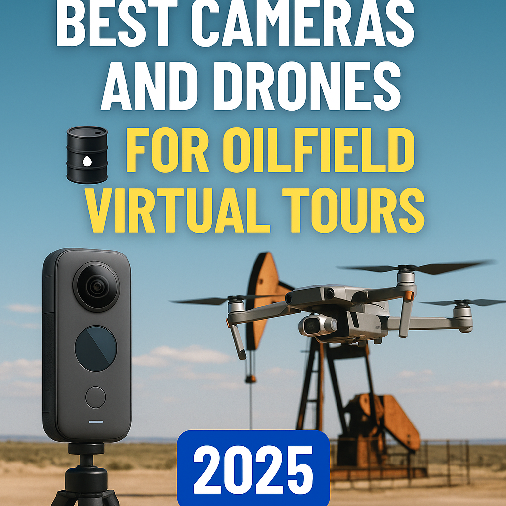
The oil and gas industry is no stranger to rugged terrain, remote job sites, and high-stakes operations. But in 2025, documenting these environments has become easier, smarter, and more immersive thanks to 360° virtual tour technology powered by high-end cameras and drones. Whether you're capturing wellheads in West Texas or an offshore platform in the Gulf, having the right gear can make or break your documentation workflow.

In this guide, we break down the best cameras and drones for oilfield virtual tours in 2025, and explain how to use them to track progress, train workers, and increase operational efficiency. 💡

🔍 Why Quality Matters for Oilfield Virtual Tours

Capturing oilfield operations is not just about visuals — it's about precision, scale, and safety. Your gear needs to withstand:

  • Harsh environments 🌪️
  • Vibration and dust exposure 🛢️
  • Long hours of use ⏱️
  • Wide-range documentation needs — from ground-level photos to aerial site views 🌍

360° virtual tours are now central to everything from oilfield project tracking to remote safety training. And the quality of your visuals directly impacts how useful your tour is to teams, managers, and regulators.

🎥 Top 360° Cameras for Ground-Based Oilfield Capture

Let’s start with handheld or tripod-based 360° cameras — perfect for walking a site or capturing interiors like rigs, control rooms, or refinery offices.

1. Insta360 ONE RS 1-Inch 360 Edition

  • Dual 1-inch CMOS sensors
  • 6K 360° video resolution
  • Excellent low-light performance 🔦
  • Removable lens modules

✅ Ideal for: Ground-level documentation, low-light interiors
🔗 Related: Combining VR Safety Training, Virtual Tours, and 360 Documentation for Oil and Gas Rigs

2. Ricoh Theta Z1

  • 23MP stills
  • 4K video capture
  • Slim form factor, tripod-compatible
  • RAW photo capability for HDR environments

✅ Ideal for: Indoors, confined spaces, or training areas
🔗 Related: Oil Rig Onboarding Simplified with Interactive Virtual Tours

3. GoPro MAX

  • Dual-lens design
  • Waterproof up to 5m
  • Real-time stitching and horizon leveling
  • Great for harsh weather conditions

✅ Ideal for: Outdoor walk-throughs in harsh weather
🔗 Related: Why Oil & Gas Teams Use 360 Virtual Tours for Site Progress Tracking

🚁 Best Drones for Aerial Oilfield Documentation in 2025

When you're managing a large job site, offshore rig, or long pipeline, aerial visibility is critical. Here are the top drone models equipped for capturing high-resolution 360° imagery and video.

1. DJI Mavic 3 Enterprise Thermal

  • Dual camera: 48MP wide + thermal
  • Mechanical shutter for mapping
  • 56x hybrid zoom
  • RTK module for centimeter-level accuracy 📍

✅ Ideal for: Inspections, mapping, and 360° tour overlays
🔗 Related: From Ground to Cloud: Tracking Oilfield Workflows with 360 Virtual Tours

2. Skydio X10D

  • Autonomous obstacle avoidance (great in cluttered oilfields)
  • 64MP main camera
  • NDAA-compliant (great for government contracts)
  • AI-assisted capture paths 🧠

✅ Ideal for: Sites with complex infrastructure or safety risk areas
🔗 Related: Save Time and Reduce Risk with Virtual Walk-Throughs in Oil and Gas

3. Parrot Anafi USA

  • 32x zoom and FLIR thermal sensor
  • Lightweight, foldable design
  • 4K HDR 360° capture
  • High wind resistance 🌀

✅ Ideal for: Mid-size job sites, thermal inspections
🔗 Related: Track Oilfield Development in Real-Time with 360 Virtual Tours

🌐 Hosting Platforms That Maximize Your Footage

After capturing visuals with your camera or drone, it’s time to transform them into interactive virtual tours. Platforms like CloudPano let you:

  • Upload 360° imagery directly
  • Add hotspots, annotations, and floorplans
  • Embed tours in internal dashboards or compliance reports
  • Track progress and timeline changes visually

🔗 Related: A New Era in Oilfield Progress Tracking: The Power of 360 Virtual Tours

🛠️ How to Build a Capture Workflow That Works

  1. Scout the Site
    • Know where drone takeoffs/landings will happen
    • Identify which indoor spaces need ground-level 360 capture
  2. Create a Capture Plan
    • Use checklists by asset type: pipelines, rigs, tanks, etc.
  3. Capture Using Both Drone and Handheld Cameras
    • Drones for aerial overviews and large-scale mapping
    • 360 cameras for walk-throughs and details
  4. Upload and Build the Tour
    • Use CloudPano or similar software to host and organize
    • Add tags for dates, inspections, and progress markers
  5. Share with Teams and Stakeholders
    • Grant view-only or collaborative access
    • Use tour versions to compare changes over time

🔗 Related: Oilfield Progress Monitoring Made Easy with 360° Virtual Tour Technology

💼 Use Cases for 2025 Oil & Gas Teams

  • Construction Progress Tracking
    Use drone captures to validate progress at every milestone
  • Training and Onboarding
    Equip new hires with 360° walk-throughs of the job site
    🔗 Top Benefits of Virtual Tours for Safety of Oil and Gas Workers
  • Asset Management
    Monitor the condition of pumps, compressors, and tanks visually
  • Regulatory Compliance
    Keep timestamped 360° documentation of every inspection and change

🔮 Final Thoughts: Invest in Visual Intelligence for 2025 and Beyond

In the high-risk, high-value world of oil and gas, visual documentation is now a competitive advantage. The right cameras and drones:

✅ Improve safety
✅ Reduce travel costs
✅ Enhance accountability
✅ Speed up approvals

As virtual tours become central to ESG reporting, remote work, and AI-assisted planning, having the right capture tools on-site will separate the forward-thinkers from the followers.

📚 Related Articles You Should Read Next:

Share this post
Cloudpano

Choose The Right 360° Camera

Insta360 ONE RS 1-Inch 360 Edition

  • Compact, ready to go anywhere

  • Interchangeable lens that’s upgradeable

  • Dual 1-inch sensors for improved clarity and low light performance

  • Dynamic range and 6K 360° capture

  • 360° photo resolution at 21MP

Learn More

Insta360 X4

  • 8K 360° video recording for ultra-detailed visuals.

  • 4K single-lens mode for traditional wide-angle shots.

  • Invisible selfie stick effect for drone-like perspectives.

  • 2.5-inch touchscreen with Gorilla Glass protection.

  • Waterproof up to 33ft for underwater shooting.

Learn More

Ricoh Theta Z1

  • 360° photo resolution in 23MP

  • Slim design at 24 mm thick

  • Built-in image stabilization for smooth video capture.

  • Internal 19GB storage for photo and video storage.

  • Wireless connectivity for remote control and sharing.

Learn More

Ricoh Theta X

  • 60MP 360° still images for high-resolution photography.

  • 5.7K 360° video recording at 30fps.

  • 2.25-inch touchscreen for intuitive control.

  • USB Type-C port for fast charging and data transfer.

  • MicroSD card slot for expandable storage.

Learn More
Property Marketing
Allows potential buyers to explore properties in detail from anywhere, enhancing the real estate marketing process.
Automotive Spins
Create an interactive virtual showroom and engage affluent digital buyers with live 360º video calls, all through the CloudPano mobile app for a complete automotive sales solution.
Interactive Floor Plans
Create 2D and 3D floor plans with measurements in 4 minutes or less, all from your phone. Download the Floor Plan Scanner app and get your first scan free.

360 Virtual Tours With CloudPano.com. Get Started Today.

Try it free. No credit card required. Instant set-up.

Try it free
Latest posts

See our other posts

Interviews, tips, guides, industry best practices, and news.

The Hidden Advantage of NTREIS Access for Real Estate Professionals

This guide uncovers the hidden advantages of NTREIS access, showing how agents are using it to predict trends, price properties accurately, and outperform competitors. Learn how to use real-time market intelligence, detailed CMA tools, and seamless integrations with AI platforms like PhotoAIVideo.com, CloudPano, and Pictastic.ai to transform listings into digital experiences buyers can’t ignore. 🚀
Read post

Best AI Voiceover Examples for Real Estate Agents

AI voiceovers are transforming real estate marketing, helping agents create professional, engaging property videos in minutes. 🎙️🏡 From luxury home tours to social media ads, AI-generated narrations bring listings to life with emotion, clarity, and consistency. This blog highlights the best AI voiceover examples for real estate agents, explaining how they enhance storytelling, save time, and boost engagement across every platform — all without the need for expensive equipment or recording studios.
Read post

Top Benefits of Joining the MIAMI Association of REALTORS®

The MIAMI Association of REALTORS® is the largest local Realtor association in the U.S., representing over 60,000 members across South Florida. Joining MIAMI REALTORS® offers agents and brokers far more than MLS access—it’s a gateway to global exposure, advanced technology, professional training, and powerful networking opportunities. Members can market listings with 360° virtual tours, AI property videos, IDX websites, and branded reports, giving them a competitive edge in one of the most dynamic real estate markets in the world. This complete guide breaks down the top benefits of MIAMI REALTORS® membership, from international buyer connections and luxury market advantages to advocacy and cost-effective growth tools. You’ll also see how MIAMI compares to other MLS platforms like Stellar MLS and FMLS, and why South Florida professionals rely on it to scale their business. Whether you’re just starting your real estate career or looking to expand your reach, MIAMI REALTORS® membership is a proven path to success.
Read post