.png)


A feature of Google Maps called Google Street View stitches together billions of panoramic photographs to give viewers a 360-degree view of the whole planet. Specialized cameras are used to take these pictures, and they are put to a variety of gadgets and vehicles, including bikes, cars, boats, backpacks, and even animals. Users may use the arrows on the map or click and drag on the screen to move around the panoramas. Additionally, they can see historical images of select areas and zoom in and out, switch to satellite or landscape view.
Google Street View is a tool for more than just exploration and discovery, though. It also serves as a platform for users to build and distribute their own virtual tours utilizing 360-degree images. You may utilize Google Street View virtual tour software to create your own immersive experiences, whether you want to promote your company, record your trips, or capture your neighborhood. We will describe the characteristics of the program and how it functions in this post.

A number of technologies and methodologies comprise the foundation of the software that enables Google Street View virtual tours, including:
The following are some aspects of the Google Street View virtual tour software:

You’ll need these things in order to make your own virtual tours with Google Street View software:

The methods below will show you how to make your own virtual tours using Google Street View software.
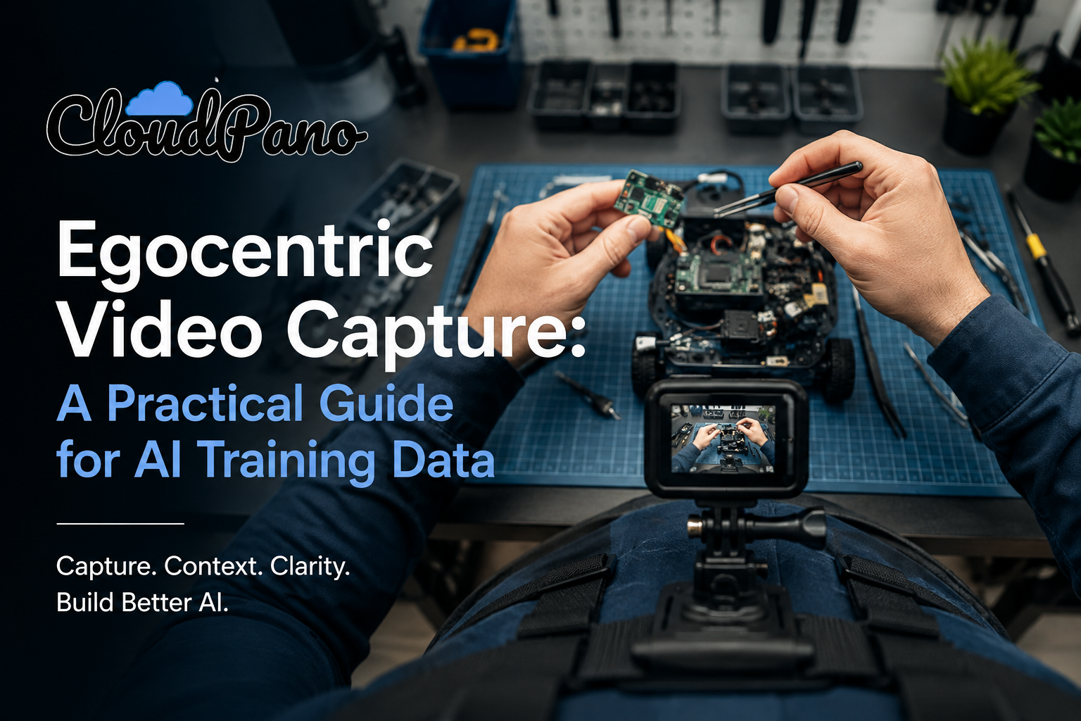
Start and stop recording, adjust exposure and resolution, and other settings may all be done using the app or program that came with your camera. You may also use voice commands or a remote control if your camera is compatible with them. Try to capture movies that are stable and don’t shake or tilt too much.Do not photograph license plates or people’s faces.
To submit your 360-degree photography to Google, use the program or software that comes with your camera or the Street View app on your smartphone.Using your computer’s Street View Studio, you may also upload your images from a local folder or a cloud storage platform.
Manage and edit your 360-degree photography with the Street View Studio on your PC. Your panoramas’ position, orientation, brightness, contrast, and other parameters may all be changed.In order to create a continuous virtual tour that people may follow, you can also connect your panoramas.
Use the Street View Studio on your computer to add more components to your virtual tour. Panoramic transitions may be added, including fades, zooms, and spins. Labels can be added to highlight important information, such as names, descriptions, or links.You can also include audio or commentary to give your audience additional information or direction.
To publish or share your virtual tour, use the Street View Studio application on your PC. You have the option of making your tour public or private for your personal use on Google Maps.By emailing them a link or including it on your website or social media, you can also let others know about your trip.
The virtual tour software for Google Street View is a potent and adaptable tool for producing and disseminating immersive experiences utilizing 360-degree data. It stitches together billions of panoramic photographs to create a virtual depiction of our surroundings on Google Maps using image-based rendering, depth maps, GIS data, and machine learning algorithms. Users may create their own virtual tours using a variety of cameras and devices, and they can then personalize them with transitions, labeling, audio, narration, and other features. Users may analyze their performance and engagement using analytics, publish or share their tours on Google Maps or elsewhere, and publish or share their tours.

Compact, ready to go anywhere
Interchangeable lens that’s upgradeable
Dual 1-inch sensors for improved clarity and low light performance
Dynamic range and 6K 360° capture
360° photo resolution at 21MP

8K 360° video recording for ultra-detailed visuals.
4K single-lens mode for traditional wide-angle shots.
Invisible selfie stick effect for drone-like perspectives.
2.5-inch touchscreen with Gorilla Glass protection.
Waterproof up to 33ft for underwater shooting.

360° photo resolution in 23MP
Slim design at 24 mm thick
Built-in image stabilization for smooth video capture.
Internal 19GB storage for photo and video storage.
Wireless connectivity for remote control and sharing.

60MP 360° still images for high-resolution photography.
5.7K 360° video recording at 30fps.
2.25-inch touchscreen for intuitive control.
USB Type-C port for fast charging and data transfer.
MicroSD card slot for expandable storage.
.png)
.png)

Try it free. No credit card required. Instant set-up.