


.png)

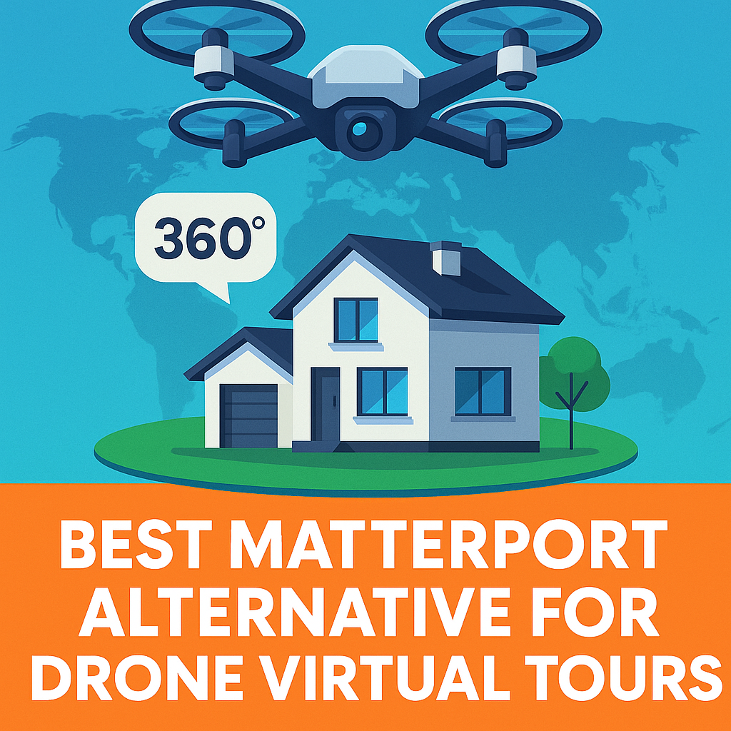
In today’s fast-paced real estate and commercial media world, drone-based virtual tours aren’t just “nice to have” — they’re a game-changer. The aerial perspective offers stunning visuals, unmatched property context, and a wow factor that drives engagement and sales.
When it comes to creating these tours, many professionals immediately think of Matterport. But for those who want more flexibility, lower costs, and built-in Google Street View integration, there’s a clear winner: CloudPano.
In this guide, we’ll explore why CloudPano is the best Matterport alternative for creating breathtaking drone-based 360° virtual tours, and how it integrates seamlessly into your workflow.
Drone-based tours are more than pretty pictures. They:
If you’re in real estate, construction, hospitality, or even tourism, drone-based tours instantly elevate your brand and make your listings stand out.
While Matterport is a big name, drone-based 360 tours aren’t its specialty. Here’s why many professionals seek alternatives:
CloudPano gives you freedom, control, and cost-efficiency — all while producing immersive tours that clients love. Here’s why it’s the top Matterport alternative for drone-based work:
Upload panoramas from any 360 camera or drone — DJI drones, Insta360 Sphere, Ricoh Theta, and more.
Create fully white-labeled tours with your branding, not the platform’s.
Want your aerial tours to appear directly on Google Maps? CloudPano makes it easy with 1-click Street View publishing.
Add info tags, floorplan overlays, and even ground-level 360 shots to create multi-level immersive experiences.
These guides show how the same CloudPano technology powering your drone tours can also be used for progress tracking, property documentation, and visual record-keeping.
If you’re building out a complete 360° documentation workflow, check out these resources from our 360 documentation software blog:
These guides show how the same CloudPano technology powering your drone tours can also be used for progress tracking, property documentation, and visual record-keeping.
Here’s how simple it is:
💡 Pro Tip: Combine drone aerials with on-the-ground 360 shots for a complete property story.
With CloudPano, you avoid the mandatory hardware purchases and locked-in hosting fees that come with Matterport. You pay only for what you use, and there’s a lifetime access option that gives you unlimited uploads forever.
If you’re ready to offer stunning drone-based virtual tours and leave Matterport behind, CloudPano is your best choice. Whether you’re a solo photographer or managing large-scale projects, you’ll enjoy freedom, speed, and client-ready results.
🔥 Here’s how to take the next step:
Matterport is a well-known name, but for drone-based virtual tours, CloudPano offers more freedom, better integration, and lower costs. From Google Street View uploads to flexible hosting and hardware freedom, CloudPano empowers you to deliver immersive experiences that sell properties faster.
If you want to stand out in your market and give clients the wow factor they’ll remember, CloudPano is the way forward.

Compact, ready to go anywhere
Interchangeable lens that’s upgradeable
Dual 1-inch sensors for improved clarity and low light performance
Dynamic range and 6K 360° capture
360° photo resolution at 21MP

8K 360° video recording for ultra-detailed visuals.
4K single-lens mode for traditional wide-angle shots.
Invisible selfie stick effect for drone-like perspectives.
2.5-inch touchscreen with Gorilla Glass protection.
Waterproof up to 33ft for underwater shooting.

360° photo resolution in 23MP
Slim design at 24 mm thick
Built-in image stabilization for smooth video capture.
Internal 19GB storage for photo and video storage.
Wireless connectivity for remote control and sharing.

60MP 360° still images for high-resolution photography.
5.7K 360° video recording at 30fps.
2.25-inch touchscreen for intuitive control.
USB Type-C port for fast charging and data transfer.
MicroSD card slot for expandable storage.
.png)
.png)

Try it free. No credit card required. Instant set-up.


