From Damage to Documentation: Using 360 Virtual Tours for Claims Processing

Cloudpano
August 5, 2025
5 min read
Share this post

From Damage to Documentation: Using 360 Virtual Tours for Claims Processing 🏚️📸

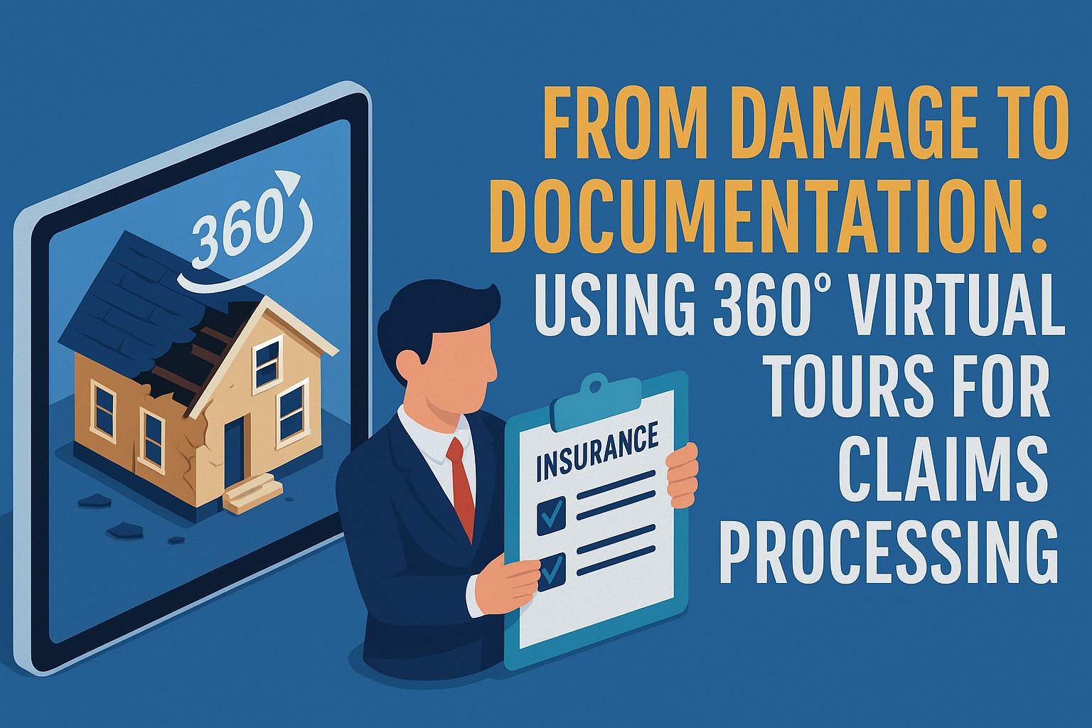
When disaster strikes, insurance companies and property owners face a common challenge: how to quickly and accurately assess damage while maintaining transparency. 📋 Traditional documentation methods—photos, written descriptions, and paperwork—are often time-consuming, prone to errors, and difficult to validate.

Enter 360° virtual tours and photo documentation software—the game-changing technology reshaping how insurance claims are processed. From speeding up inspection times to improving communication between adjusters and clients, this modern solution is redefining claims accuracy and trust. 🔁

Why Traditional Insurance Documentation Falls Short ⛔

Historically, the claims process has relied heavily on manual site visits, subjective descriptions, and static images. This leads to:

  • Inconsistent photo angles
  • Incomplete visual data
  • Delayed processing due to missed information
  • Disputes about the extent of damage

With these inefficiencies, both insurers and property owners experience frustration, delays, and potentially increased costs.

360 Virtual Tours: The Modern Claims Solution 🚀

Imagine walking through a damaged property remotely, being able to pan, zoom, and view every angle in real-time—without stepping foot on-site. That's the power of virtual tour documentation.

When paired with 360 documentation software, these virtual walkthroughs become rich data sources for:

  • 📌 Adjusters to remotely evaluate damages
  • 🧾 Creating time-stamped and geo-tagged evidence
  • 🧑‍💼 Clients to understand claim assessments
  • 💬 Streamlined communication between insurers, property managers, and contractors

Want to see the technology behind this innovation? Check out How Virtual Tours and 360 Documentation Are Transforming Insurance Claims.

Key Benefits for Insurance Claims Processing ✅

  1. Faster Claim Turnarounds ⏱️
    360° photo logs can be captured immediately after a damaging event and shared with adjusters within minutes—accelerating approvals and payouts.
  2. Reduced Fraud & Disputes ⚖️
    Clear, immersive visuals leave little room for ambiguity, helping insurers detect exaggerated or fraudulent claims.
  3. Improved Stakeholder Communication 🗣️
    Claims adjusters, underwriters, contractors, and property owners all benefit from a single visual source of truth.
  4. Audit-Ready Records 📂
    360° tours are timestamped, archived, and easily retrievable for future audits or policy reviews.

Discover more in our post: Faster Insurance Approvals with 360 Documentation Software.

How It Works: From Damage to Documentation 🔄

Let’s walk through how this process flows in real-world claims:

  1. Capture the Scene – A property manager or adjuster uses a 360° camera or mobile app to document the site.
  2. Generate the Tour – Using documentation software, a virtual tour is auto-created from the photo log.
  3. Share & Review – The link is shared with stakeholders for remote inspection.
  4. Verify & Approve – Claim adjusters analyze the tour, add notes, and finalize the assessment.

Use Case Spotlight: Storm Damage Insurance Claim 🌪️

After a major hailstorm, a multi-unit residential property experienced significant roof and siding damage. Instead of waiting days for an adjuster to arrive, the property manager used 360 photo software to create a tour of the damage.

🔍 The adjuster viewed the damage virtually, submitted the report the same day, and the claim was approved 4x faster than normal.

Seamless Integration with Claims Software 💻

Many 360 documentation tools now integrate directly with insurance platforms, allowing:

  • API-based data syncs 📡
  • In-tour annotation tools ✍️
  • AI-assisted damage detection 🤖

This creates a seamless pipeline from capture ➜ analysis ➜ reporting ➜ claim approval.

Don’t Just Document. Tell the Whole Story. 🧩

360° virtual tours don’t just provide documentation—they tell a compelling visual story. Whether it’s minor water damage or post-fire reconstruction, insurers gain the full context, and property owners feel more confident and informed.

If you're part of an insurance team, real estate group, or property management firm, this is your edge in 2025 and beyond.

💡 Ready to Upgrade Your Claims Workflow?

Here’s how you can get started today:

Share this post
Cloudpano

Choose The Right 360° Camera

Insta360 ONE RS 1-Inch 360 Edition

  • Compact, ready to go anywhere

  • Interchangeable lens that’s upgradeable

  • Dual 1-inch sensors for improved clarity and low light performance

  • Dynamic range and 6K 360° capture

  • 360° photo resolution at 21MP

Learn More

Insta360 X4

  • 8K 360° video recording for ultra-detailed visuals.

  • 4K single-lens mode for traditional wide-angle shots.

  • Invisible selfie stick effect for drone-like perspectives.

  • 2.5-inch touchscreen with Gorilla Glass protection.

  • Waterproof up to 33ft for underwater shooting.

Learn More

Ricoh Theta Z1

  • 360° photo resolution in 23MP

  • Slim design at 24 mm thick

  • Built-in image stabilization for smooth video capture.

  • Internal 19GB storage for photo and video storage.

  • Wireless connectivity for remote control and sharing.

Learn More

Ricoh Theta X

  • 60MP 360° still images for high-resolution photography.

  • 5.7K 360° video recording at 30fps.

  • 2.25-inch touchscreen for intuitive control.

  • USB Type-C port for fast charging and data transfer.

  • MicroSD card slot for expandable storage.

Learn More
Property Marketing
Allows potential buyers to explore properties in detail from anywhere, enhancing the real estate marketing process.
Automotive Spins
Create an interactive virtual showroom and engage affluent digital buyers with live 360º video calls, all through the CloudPano mobile app for a complete automotive sales solution.
Interactive Floor Plans
Create 2D and 3D floor plans with measurements in 4 minutes or less, all from your phone. Download the Floor Plan Scanner app and get your first scan free.

360 Virtual Tours With CloudPano.com. Get Started Today.

Try it free. No credit card required. Instant set-up.

Try it free
Latest posts

See our other posts

Interviews, tips, guides, industry best practices, and news.

Drone Photography Video Marketing: Turn Aerial Photos Into Revenue

This guide explains how drone photographers can turn aerial photos into high-converting marketing videos to increase engagement and revenue. It covers why video outperforms photos alone, how photo-to-video automation works, where to distribute drone videos for maximum impact, and how photographers can scale services and monetize video without additional filming or editing.
Read post

How Drone Photographers Can Turn Aerial Photos Into Videos Automatically

This guide explains how drone photographers can automatically turn aerial photos into professional videos using photo-to-video automation and AI tools. It covers why video outperforms photos alone, how automated workflows work, where to use aerial videos for maximum impact, and how photographers can scale services and increase revenue without additional filming or editing time.
Read post

The Ultimate Guide to Real Estate Photo-to-Video Automation

This guide explains how real estate professionals use photo-to-video automation to create high-impact listing videos without filming or manual editing. It covers how AI transforms listing photos into engaging videos, where to distribute them for maximum exposure, and how agents and teams scale video marketing efficiently. Perfect for agents, brokers, and marketers looking to modernize real estate marketing with automation.
Read post