.png)

When Google first launched Maps in 2005, it was a digital miracle — you could zoom, drag, and search for any place on Earth. But something was missing… you couldn’t feel the streets, buildings, and cities. 📸 Build a profitable business helping local companies stand out on Google Maps!
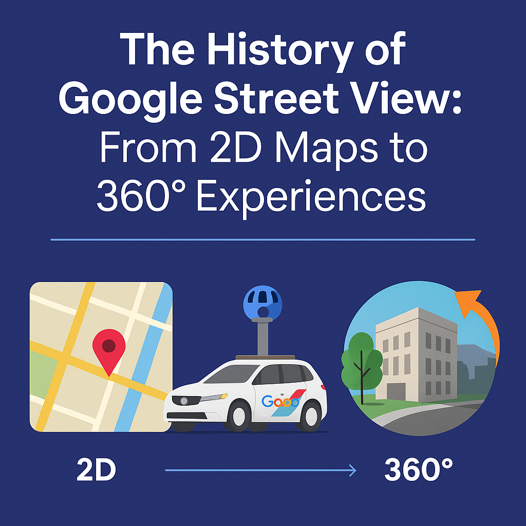
Then came Google Street View — a project that turned static maps into an immersive, real-world experience. What began as a handful of 2D images stitched together has evolved into a global 360° visualization platform, powering industries like real estate, tourism, architecture, and more. A real estate video app makes it easy for agents to turn listing photos into high-quality videos that boost MLS visibility.
Let’s explore how Street View transformed from simple road mapping into the powerful virtual tour ecosystem we use today.

Before Street View, Google Maps was purely 2D — useful, but limited.
Launched in 2005, Google Maps revolutionized how people navigated. You could search addresses, get driving directions, and view satellite imagery.
But users wanted more than just dots on a map. They wanted to see the real world — the street corners, the landmarks, the buildings they were heading to.
That’s where the idea of Street View was born.
In May 2007, Google launched Street View as an experiment in just five U.S. cities — San Francisco, New York, Las Vegas, Miami, and Denver.
The concept was simple yet groundbreaking:
🚙 Drive cars equipped with panoramic cameras through streets.
📸 Capture photos every few meters.
🧩 Stitch them together to form seamless 360° street-level imagery.
Each Google Street View car carried a high-tech camera rig mounted on top — resembling a futuristic science experiment.
The results were stunning. For the first time ever, you could virtually walk down real streets from your computer.
🌍 Fun fact: Early Street View cars used laser scanners and GPS to match images to exact map coordinates — a major technical feat at the time!
After the initial success, Google didn’t stop with city streets. The company began exploring the unseen and inaccessible parts of the world.
Here’s how the expansion evolved:
What began as a navigation tool became a cultural archive of the planet — accessible to anyone, anywhere.
The early Street View cameras were bulky and experimental. But as technology advanced, so did the quality, speed, and accuracy of imagery.
By the mid-2010s, Google started using AI to blur faces, read street signs, and analyze landmarks automatically.
Today, Street View technology can:
Google eventually opened the system to third-party creators, allowing photographers and businesses to publish their own tours using certified 360° cameras and platforms like CloudPano.
Now anyone can upload to Street View — not just Google’s cars.
Around 2014, Google introduced Street View Trusted — a program for professional photographers to create virtual tours inside businesses.
This opened the door for:
Essentially, businesses gained a digital showroom on Google Maps.
💡 Example: A restaurant in New York added a Street View tour and saw a 30% increase in reservation conversions in just weeks.
Platforms like CloudPano.com made it even easier — allowing users to create 360° virtual tours in minutes and publish them to Google Street View directly.
As smartphones became powerful, Google extended Street View into the mobile world.
📱 In 2015, the standalone Google Street View app launched, enabling users to:
This democratized mapping. Now anyone could become a contributor — capturing their neighborhoods, schools, or favorite cafes.
Crowdsourcing made Street View one of the largest visual databases of Earth in history.
By the late 2010s, Street View had outgrown its original navigation purpose. It evolved into an immersive exploration tool — perfect for VR and educational experiences.
Read: How to Start a Profitable Business with Google Maps and Google Street View
Street View entered platforms like Google Earth VR, letting users “fly” around the world and step into streets with a VR headset.
Imagine exploring the streets of Tokyo, the canals of Venice, or the peaks of the Andes — all without leaving your room.
Street View’s underlying data now supports 3D reconstruction and AR mapping, powering navigation in autonomous vehicles and smart cities.
The blend of AI, 3D modeling, and real-world imagery makes Street View a foundational layer of future digital worlds.
Today, Street View is far more than a mapping feature. It’s a marketing, educational, and storytelling tool used across industries.
Realtors use Street View tours to show properties remotely, often combined with virtual staging.
Teachers use 360° views to take students on “virtual field trips” — from museums to space centers.
Architects document projects and progress using Street View integrations.
Destinations create immersive showcases to attract travelers — letting them explore before booking.
With platforms like CloudPano, businesses now publish custom 360° tours directly into Google Street View — without needing Google’s equipment.
Here are some jaw-dropping facts that show how massive the project has become:
Street View isn’t just a feature anymore — it’s a living, breathing visual record of the planet.
What’s next for Street View?
Google is combining AI, live data, and augmented reality to make navigation more dynamic than ever.
Read: Google Street View & Maps: The Ultimate Marketing Strategy for Real Estate Agents
Street View imagery helps train Google’s self-driving car systems and AR navigation (like “Live View” in Maps).
Imagine a Street View that’s updated live, showing current conditions, events, and weather.
Cities and developers are now building digital twins — virtual replicas of real locations powered by Street View and 3D data.
In the near future, Street View won’t just help us navigate — it will help us build, simulate, and design the world.
What started as a cool mapping experiment in 2007 has become one of humanity’s most ambitious visual archives.
From 2D road maps to immersive 360° tours, Google Street View reshaped how we experience the world — making every destination, from your local café to the top of Everest, just one click away.
And now, with creators, photographers, and businesses contributing every day, Street View has evolved into a global storytelling platform — one that connects people, places, and possibilities in stunning 360°.

Compact, ready to go anywhere
Interchangeable lens that’s upgradeable
Dual 1-inch sensors for improved clarity and low light performance
Dynamic range and 6K 360° capture
360° photo resolution at 21MP

8K 360° video recording for ultra-detailed visuals.
4K single-lens mode for traditional wide-angle shots.
Invisible selfie stick effect for drone-like perspectives.
2.5-inch touchscreen with Gorilla Glass protection.
Waterproof up to 33ft for underwater shooting.

360° photo resolution in 23MP
Slim design at 24 mm thick
Built-in image stabilization for smooth video capture.
Internal 19GB storage for photo and video storage.
Wireless connectivity for remote control and sharing.

60MP 360° still images for high-resolution photography.
5.7K 360° video recording at 30fps.
2.25-inch touchscreen for intuitive control.
USB Type-C port for fast charging and data transfer.
MicroSD card slot for expandable storage.
.png)
.png)

Try it free. No credit card required. Instant set-up.