


.png)

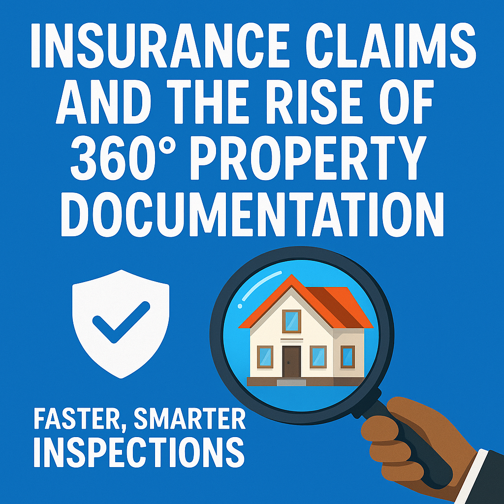
Intro: The Claims Game Has Changed 🏘️📸
Gone are the days of endless paper trails and phone tag between adjusters and property owners. The insurance industry is embracing a major shift — and it’s powered by immersive, real-time visual evidence. Enter 360° property documentation. Using interactive tours and detailed panoramic photography, insurers can now inspect, assess, and process claims with greater speed, clarity, and transparency.
Whether you’re an adjuster, underwriter, or property owner, adopting 360° documentation can streamline every step of the claims process — from initial loss reports to final settlements.
Let’s explore how 360° tech is transforming the insurance world one claim at a time.
Time is critical when disaster strikes. With 360° documentation, insurance adjusters can quickly access immersive walk-throughs of a property to assess damage remotely. This eliminates the wait time for in-person inspections and accelerates approvals.
Check out Cut Insurance Claim Times with Interactive 360° Tour Documentation to see how virtual walkthroughs are shaving days off processing time.
Traditional claim documentation often leads to misunderstandings. A photograph can’t always tell the whole story — but a 360° tour can. By giving a full, navigable view of a site before and after loss, adjusters can verify claims with visual proof.
Want to improve verification? Learn how Using 360 Photo Tools to Document and Verify Insurance Losses can reduce ambiguity and support accurate claims.
360° documentation software helps organize and archive media within cloud-based platforms. Instead of managing photos across emails, hard drives, and folders, insurers can easily access visual records tied to specific claims.
See how The Ultimate Guide to 360 Documentation Software for Insurance Adjusters breaks down these powerful tools for field teams.
Adjusters no longer need to drive hours for on-site visits. Virtual inspections can be performed from anywhere — saving time, fuel, and resources.
Pre-loss tours act as a digital time capsule. Insurers can compare current property conditions to documented visuals to confirm the legitimacy of a claim.
360° tours offer transparency for all parties — insurers, homeowners, contractors, and third-party assessors. Everyone sees the same virtual evidence, which speeds up collaboration and resolution.
The future of insurance documentation is digital, visual, and interactive. Companies that adopt 360° tour tech now are setting the gold standard for customer experience and operational efficiency.
Modern insurers are using software platforms like:
From faster turnaround times to more accurate payouts, the rise of 360° property documentation is reshaping the insurance industry. If your team still relies on static photos, it’s time to upgrade to immersive, interactive, and organized documentation.
Whether you're documenting pre-claim conditions or reviewing post-loss damage, 360° virtual tours give your team a visual edge.

Compact, ready to go anywhere
Interchangeable lens that’s upgradeable
Dual 1-inch sensors for improved clarity and low light performance
Dynamic range and 6K 360° capture
360° photo resolution at 21MP

8K 360° video recording for ultra-detailed visuals.
4K single-lens mode for traditional wide-angle shots.
Invisible selfie stick effect for drone-like perspectives.
2.5-inch touchscreen with Gorilla Glass protection.
Waterproof up to 33ft for underwater shooting.

360° photo resolution in 23MP
Slim design at 24 mm thick
Built-in image stabilization for smooth video capture.
Internal 19GB storage for photo and video storage.
Wireless connectivity for remote control and sharing.

60MP 360° still images for high-resolution photography.
5.7K 360° video recording at 30fps.
2.25-inch touchscreen for intuitive control.
USB Type-C port for fast charging and data transfer.
MicroSD card slot for expandable storage.
.png)
.png)

Try it free. No credit card required. Instant set-up.


