


.png)

In the fast-paced, high-risk world of oil and gas, accurate documentation isn’t just a box to check — it’s critical for safety, compliance, project tracking, and operational excellence. But let’s be honest: traditional documentation systems are messy. 📂
Spreadsheets. PDFs. Disconnected photo folders. Handwritten field notes.
In 2025, forward-thinking oilfield operators are ditching fragmented tools and embracing 360° virtual tours as the backbone of centralized documentation systems. This post shows you how to build a centralized, visual-first record-keeping workflow for oilfield operations — from construction to completion.
Oilfield teams often juggle:
Without a unified system, documentation becomes a liability — not an asset.
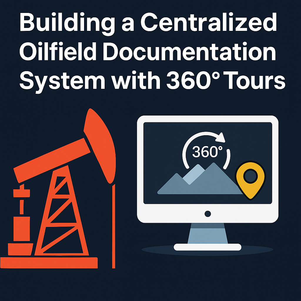
📌 That’s where 360° virtual tours come in.
It’s a cloud-based platform that stores visual, time-stamped, and location-specific data in one accessible place.
With 360° tours, your system becomes:
🔗 Learn how others are already implementing this: From Ground to Cloud: Tracking Oilfield Workflows with 360 Virtual Tours
Here’s what a modern oilfield documentation system includes:
Capture ground-level walkthroughs and aerial site overviews.
Related: Best Cameras and Drones for Oilfield Virtual Tours in 2025
Create clickable, immersive virtual tours with annotations, hotspots, and timeline tracking.
Ensure everyone — from safety officers to execs — gets the access level they need.
Link inspection logs, task assignments, and issue tracking directly to 360 scenes.
Start by setting a capture cadence:
Use Insta360, Ricoh Theta, or DJI Mavic drones to capture complete 360° visuals.
Use platforms like CloudPano to:
Each tour becomes a living timeline for that site.
Attach:
Now your visuals become actionable knowledge hubs, not just pretty pictures.
Send view-only links to:
Role-based access ensures the right people see the right info — no more emailing zip files.
Duplicate tours weekly or monthly to track changes over time.
Use side-by-side comparisons to:
Need to prove safety measures were followed?
Have to document site conditions during a regulatory window?
360° virtual tours give you:
This simplifies remote oilfield safety training and compliance documentation.
Turn your 360° documentation system into a training platform:
An operator in Alberta used 360° virtual tours to:
Result: Less travel, faster approvals, better collaboration. 🎯
If your oilfield documentation still lives in scattered folders, email attachments, and dusty binders — it’s time to upgrade.
With 360° virtual tours, you can:
✅ Centralize your data
✅ Enhance compliance
✅ Reduce risk
✅ Make smarter, faster decisions
✅ Future-proof your operations
It’s time to bring your documentation out of the dark and into the immersive, cloud-powered future. 🚀

Compact, ready to go anywhere
Interchangeable lens that’s upgradeable
Dual 1-inch sensors for improved clarity and low light performance
Dynamic range and 6K 360° capture
360° photo resolution at 21MP

8K 360° video recording for ultra-detailed visuals.
4K single-lens mode for traditional wide-angle shots.
Invisible selfie stick effect for drone-like perspectives.
2.5-inch touchscreen with Gorilla Glass protection.
Waterproof up to 33ft for underwater shooting.

360° photo resolution in 23MP
Slim design at 24 mm thick
Built-in image stabilization for smooth video capture.
Internal 19GB storage for photo and video storage.
Wireless connectivity for remote control and sharing.

60MP 360° still images for high-resolution photography.
5.7K 360° video recording at 30fps.
2.25-inch touchscreen for intuitive control.
USB Type-C port for fast charging and data transfer.
MicroSD card slot for expandable storage.
.png)
.png)

Try it free. No credit card required. Instant set-up.


