Top 5 Ways Engineers Use 360 Photo Documentation for Project Accuracy

Cloudpano
August 2, 2025
5 min read
Share this post

Top 5 Ways Engineers Use 360° Photo Documentation for Project Accuracy 🛠️📸📐

In the world of engineering, accuracy isn’t optional — it’s critical. Whether it’s civil, structural, or MEP engineering, mistakes can result in rework, safety risks, or budget overruns. That’s why top engineers are turning to 360° photo documentation tools to create crystal-clear, time-stamped records of job sites and progress conditions.

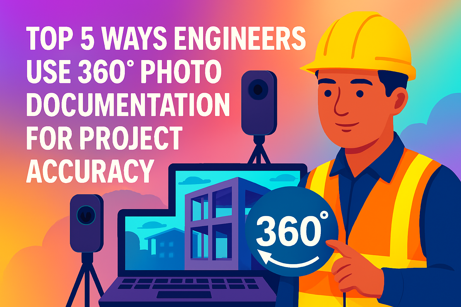
Let’s break down the top 5 ways engineers are using 360° photo documentation to reduce errors, validate work, and deliver projects with precision.

🔍 1. Capture As-Built Conditions in Real Time

Every engineering decision depends on knowing exactly what’s on-site — not just what’s on the plan.

360° documentation helps engineers:

  • Visually confirm mechanical installations or framing
  • Compare actual builds to specs
  • Catch field deviations early
  • Archive site conditions for future reference

Instead of relying on text-based RFIs or static photos, engineers can now walk the site virtually and understand current field conditions from their office or anywhere in the world.

📐 2. Improve Coordination with Field and Design Teams

When multiple disciplines work together — electrical, plumbing, HVAC, structural — small errors can snowball. 360° tours bridge the gap between the office and the field by providing a shared visual source of truth.

Engineers can:

  • Drop pins in the tour to flag clashes or corrections
  • Annotate photos with markup tools
  • Use tours to communicate issues clearly to contractors

This keeps everyone aligned and reduces finger-pointing.

📖 Internal link: Streamline Your Virtual Tours with 360-Degree Documentation Software

🧪 3. Validate Work for Inspections & QA/QC

Engineers are often responsible for confirming work meets spec before inspections or milestone approvals.

360° photo documentation provides:

  • Timestamps for verification 📆
  • Clear views of all installation phases
  • Peace of mind before costly slab pours or wall closures

By referencing 360° records, engineers can document when and how work was completed — ensuring safety and quality requirements are met.

📚 See also: Boost Accuracy and Efficiency with 360-Degree Virtual Tour Documentation Tools

🧾 4. Provide Detailed Visual Reports for Stakeholders

Whether reporting to clients, city officials, or internal leadership, engineers often present findings in a formal report. Adding 360° tours to those reports brings your documentation to life.

You can:

  • Embed virtual walkthroughs in reports
  • Include annotations or issues in context
  • Link to specific locations in the tour

This kind of visual reporting boosts transparency and confidence in your recommendations.

📖 Related post: The Future of Visual Reporting: 360° Documentation Tools and Virtual Tours

🧠 5. Reduce Time on Site (Without Sacrificing Accuracy)

Engineers often have multiple projects to visit across a region. Instead of driving from site to site, 360° documentation enables remote review of conditions without compromising on accuracy.

Use cases include:

  • Reviewing milestone progress from your office 🧑‍💼
  • Performing punch list reviews virtually 📲
  • Confirming as-built conditions before design adjustments

The result? Engineers spend less time in the truck and more time solving real design challenges — armed with full, visual data.

⚙️ What Makes CloudPano Ideal for Engineering Teams?

Engineers love CloudPano because it’s:

  • 🔧 Easy to use with 360 cameras like Ricoh Theta and Insta360
  • 🔒 Secure and cloud-based for team access
  • 🧭 Organized by project, zone, or floor
  • ✏️ Annotation-ready for issue flagging

It also integrates with existing workflows, and its virtual tour creation takes minutes — not hours.

📊 Bonus: Use 360° Records in Post-Project Analysis

Engineers often lead lessons learned and value engineering sessions after project completion. With a complete 360° archive:

  • You can analyze what went well
  • Identify issues with clarity
  • Train future staff with real examples

It’s not just about solving problems today — it's about creating better results tomorrow. 📈

✅ Final Thoughts: Build Smarter With 360° Documentation

Engineers are wired for precision — and 360° photo documentation is the perfect complement. From field coordination and QA/QC to inspection readiness and stakeholder reporting, this technology enhances accuracy, visibility, and trust.

Ready to empower your engineering workflows with full-picture clarity? 🎯

📣 Try These Tools Now 👇

Share this post
Cloudpano

Choose The Right 360° Camera

Insta360 ONE RS 1-Inch 360 Edition

  • Compact, ready to go anywhere

  • Interchangeable lens that’s upgradeable

  • Dual 1-inch sensors for improved clarity and low light performance

  • Dynamic range and 6K 360° capture

  • 360° photo resolution at 21MP

Learn More

Insta360 X4

  • 8K 360° video recording for ultra-detailed visuals.

  • 4K single-lens mode for traditional wide-angle shots.

  • Invisible selfie stick effect for drone-like perspectives.

  • 2.5-inch touchscreen with Gorilla Glass protection.

  • Waterproof up to 33ft for underwater shooting.

Learn More

Ricoh Theta Z1

  • 360° photo resolution in 23MP

  • Slim design at 24 mm thick

  • Built-in image stabilization for smooth video capture.

  • Internal 19GB storage for photo and video storage.

  • Wireless connectivity for remote control and sharing.

Learn More

Ricoh Theta X

  • 60MP 360° still images for high-resolution photography.

  • 5.7K 360° video recording at 30fps.

  • 2.25-inch touchscreen for intuitive control.

  • USB Type-C port for fast charging and data transfer.

  • MicroSD card slot for expandable storage.

Learn More
Property Marketing
Allows potential buyers to explore properties in detail from anywhere, enhancing the real estate marketing process.
Automotive Spins
Create an interactive virtual showroom and engage affluent digital buyers with live 360º video calls, all through the CloudPano mobile app for a complete automotive sales solution.
Interactive Floor Plans
Create 2D and 3D floor plans with measurements in 4 minutes or less, all from your phone. Download the Floor Plan Scanner app and get your first scan free.

360 Virtual Tours With CloudPano.com. Get Started Today.

Try it free. No credit card required. Instant set-up.

Try it free
Latest posts

See our other posts

Interviews, tips, guides, industry best practices, and news.

How to Create Virtual Tours of Your Construction Site Using 360 Photos

Learn how to capture, build, and share interactive 360° virtual tours of your construction site using just a camera and simple software. This guide walks you through the exact steps to improve communication, reduce errors, and visually document every phase of your construction project — from foundation to finish. Perfect for project managers, engineers, and stakeholders who want clarity at every step.
Read post

Why Engineering Teams Are Adopting 360 Site Documentation Tools in 2025

In 2025, engineering teams are rapidly adopting 360° site documentation tools to increase precision, streamline collaboration, and reduce costly rework. This post explores how immersive visual records improve remote monitoring, cut travel time, and help engineers maintain accuracy across every project phase — from MEP to QA/QC.
Read post

The Future of Construction Monitoring: 360° Photos and Virtual Walkthroughs

360° photo documentation and virtual walkthroughs are redefining construction monitoring. This post explains how immersive, real-time visuals increase stakeholder trust, reduce miscommunication, and streamline inspections — all while creating a digital record of every phase. Learn why future-ready builders are adopting these tools now to stay ahead.
Read post