


.png)

The real estate world is evolving fast — and developers who want to stay ahead of the curve are embracing a new wave of technology:
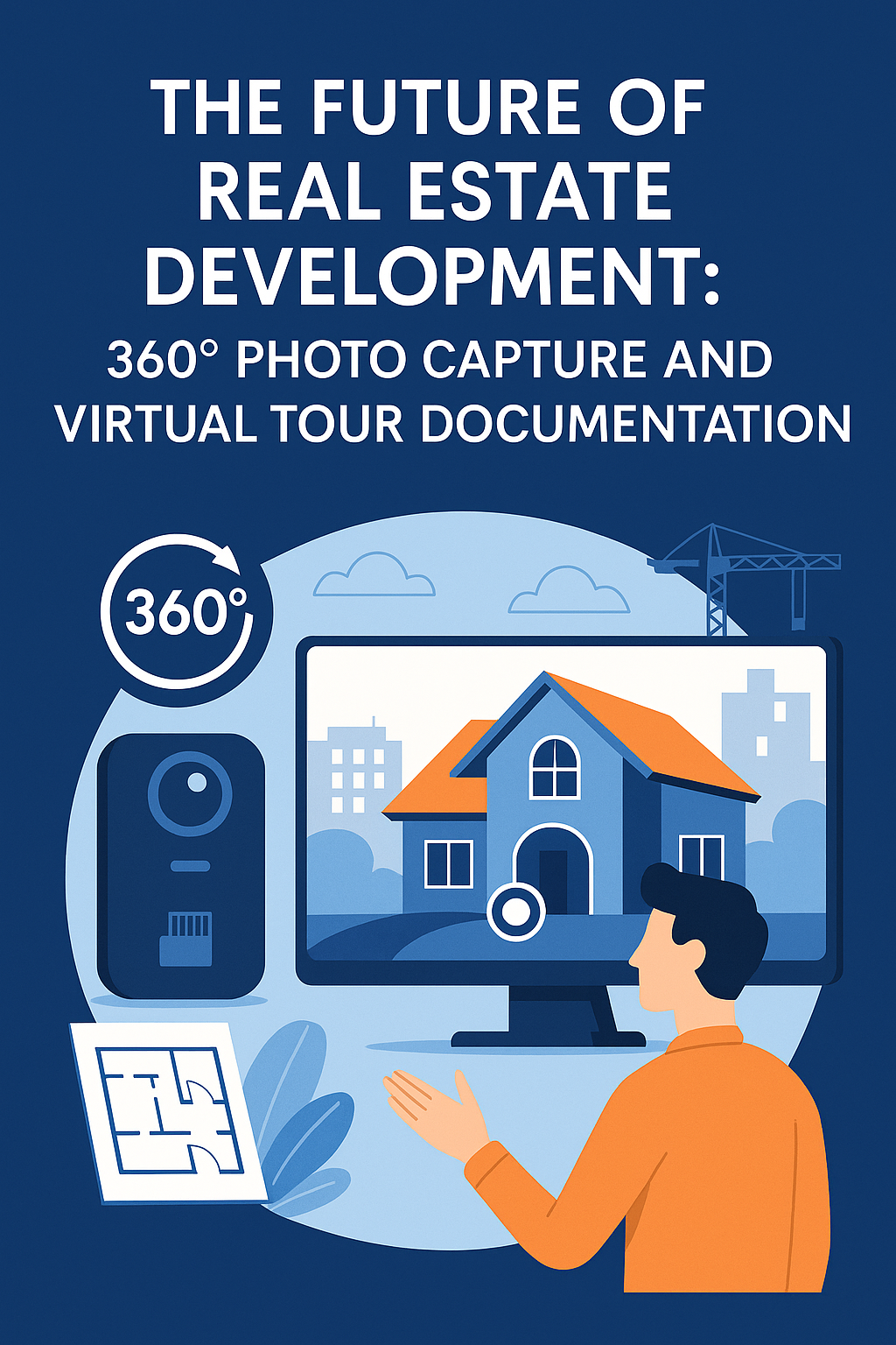
360° photo capture + virtual tour documentation software 🌀📸
Forget static progress photos, clunky email threads, and endless site visits. Today, developers can document every milestone, update stakeholders in real time, and even generate marketing content — all from a single, immersive 360° platform.
Let’s dive into why this tech is shaping the future of development.
360° documentation tools combine interactive panoramic photography with virtual tour software to create immersive digital twins of real estate sites.
Imagine walking a property from your phone — seeing site updates room by room — as if you were there in person. That’s what tools like CloudPano, PhotoAIVideo, and Pictastic.ai enable.
With just a 360° camera and the right software, you can:
✅ Capture your site
✅ Organize progress over time
✅ Share with investors or buyers
✅ Create before/after visuals
✅ Turn photos into videos or floor plans
🔗 Learn more: How 360 Documentation Software Enhances Virtual Tour Creation
Here’s why this technology is quickly becoming non-negotiable:
Every 360° photo becomes a visual timestamp. From framing to finishes, you can see and show what’s done, what’s delayed, and what’s coming next.
No more explaining with vague descriptions. Just send a link. Stakeholders can explore the project themselves — remotely and in real time.
🔗 Related: Improve Client Communication in Real Estate Projects with 360 Virtual Tours Documentation Software
Cut travel costs and reduce inspection time. Contractors, engineers, and owners can do walkthroughs without leaving their desks.
🔗 Must-read: Revolutionize Site Inspections with 360-Degree Documentation Virtual Tours
Add AI-powered staging and voiceover videos using Pictastic.ai and PhotoAIVideo to turn construction progress into listing-ready content.
🧱 Real Estate Developers – Monitor multiple sites at scale
👷♂️ General Contractors – Confirm deliverables with photo evidence
🏢 Commercial Brokers – Show off build-outs with clarity
🏠 Marketing Teams – Generate sales content pre-completion
📊 Investors – Stay in the loop without constant calls or site visits
🔗 See more: Top Benefits of Using 360 Documentation Software for Property Virtual Tours
A developer sends weekly 360° walkthroughs to their investors, reducing in-person visits by 70%. The result? More trust, less micromanaging.
Builders create a before-and-after timeline of every room. These are shared with clients and later used in sales content.
Facilities teams document safety, access points, and construction changes using virtual tours — useful for compliance and board reporting.
You don’t need drones, big crews, or expensive site managers to document like a pro.
Just combine:
📷 360° Cameras
🌀 CloudPano for Tours
🎥 PhotoAIVideo for Video
🛋️ Pictastic for Virtual Staging
And you’ll build faster, market better, and impress more people — all without stepping foot onsite.
360° photo documentation and virtual tour tools are no longer just a “nice to have” — they’re the future of fast, transparent, and profitable real estate development. 🌍
If you’re serious about:
✅ Saving time
✅ Reducing miscommunication
✅ Building trust
✅ Marketing better...
Then it’s time to step into the future of property documentation — and bring your stakeholders with you.
Start building smarter today. 🚀📷💼

Compact, ready to go anywhere
Interchangeable lens that’s upgradeable
Dual 1-inch sensors for improved clarity and low light performance
Dynamic range and 6K 360° capture
360° photo resolution at 21MP

8K 360° video recording for ultra-detailed visuals.
4K single-lens mode for traditional wide-angle shots.
Invisible selfie stick effect for drone-like perspectives.
2.5-inch touchscreen with Gorilla Glass protection.
Waterproof up to 33ft for underwater shooting.

360° photo resolution in 23MP
Slim design at 24 mm thick
Built-in image stabilization for smooth video capture.
Internal 19GB storage for photo and video storage.
Wireless connectivity for remote control and sharing.

60MP 360° still images for high-resolution photography.
5.7K 360° video recording at 30fps.
2.25-inch touchscreen for intuitive control.
USB Type-C port for fast charging and data transfer.
MicroSD card slot for expandable storage.
.png)
.png)

Try it free. No credit card required. Instant set-up.


