.png)

In the ever-evolving world of architecture, precision and collaboration are everything. Whether you’re managing a new build, renovation, or client presentation, staying aligned with stakeholders while avoiding costly miscommunications can make or break a project.
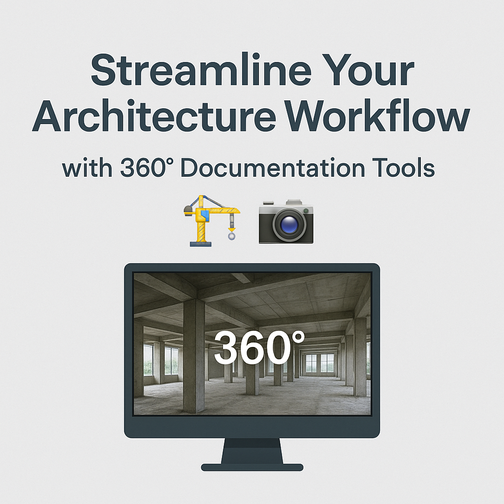
That’s where 360° documentation tools come in. These immersive solutions help architects, designers, and builders capture entire spaces with clarity, context, and shareability — all in just a few clicks.
In this guide, we’ll break down how 360° documentation technology can transform your architecture workflow from fragmented and frustrating to seamless and scalable. Let’s explore how you can save time, eliminate errors, and wow your clients with cutting-edge visual communication. 💡
360° documentation tools allow you to visually record entire physical spaces using panoramic images or video. Instead of relying solely on static photos or CAD files, architects can now create a virtual twin of the site—accessible anytime, from anywhere.
These tools are commonly used for:
Here’s how 360° documentation software is changing the game:
Forget dozens of out-of-context photos. With 360° views, everyone—from your firm’s junior drafter to the client halfway across the country—can walk the site virtually.
This reduces misunderstandings and boosts decision-making speed.
Related: How 360 Documentation Software Enhances Virtual Tour Creation
Need to validate how something was built months ago? With time-stamped 360° tours, you can “rewind” and confirm what was installed, where, and when. This is especially helpful during permitting and final documentation phases.
Clients often struggle to visualize spaces. A 360° tour bridges that gap, helping them understand design intent and spot changes early—before they become expensive fixes.
✅ Site Surveys: Capture complete site conditions before design begins.
✅ Design Iteration Reviews: Walk your team through conceptual designs overlayed on real spaces.
✅ Change Management: Keep a historical record of every design change and update visually.
✅ Permitting & Compliance: Use 360° visuals to demonstrate compliance and build credibility with local officials.
Don’t miss: Top Features Every Virtual Tour SaaS Should Include in 2025
Think 360° documentation sounds like a major technical lift? It’s not. In fact, platforms like PropertyEdits.ai let you upload your photos and generate interactive tours with ease — no coding or custom software needed.
You can:
Want even more visibility? Combine your 360° tours with drone maps or 2D/3D floor plans. This adds spatial context and creates a multi-layered documentation system perfect for large developments or phased renovations.
Architecture is all about bringing ideas to life—and every tool that reduces friction brings you closer to that goal. With 360° documentation, you’re not just enhancing how you work—you’re elevating how you communicate, collaborate, and create.
Whether you’re managing small remodels or multi-million-dollar developments, it’s time to future-proof your firm with smart visual documentation. 🔒✨
Here’s what to do next:

Compact, ready to go anywhere
Interchangeable lens that’s upgradeable
Dual 1-inch sensors for improved clarity and low light performance
Dynamic range and 6K 360° capture
360° photo resolution at 21MP

8K 360° video recording for ultra-detailed visuals.
4K single-lens mode for traditional wide-angle shots.
Invisible selfie stick effect for drone-like perspectives.
2.5-inch touchscreen with Gorilla Glass protection.
Waterproof up to 33ft for underwater shooting.

360° photo resolution in 23MP
Slim design at 24 mm thick
Built-in image stabilization for smooth video capture.
Internal 19GB storage for photo and video storage.
Wireless connectivity for remote control and sharing.

60MP 360° still images for high-resolution photography.
5.7K 360° video recording at 30fps.
2.25-inch touchscreen for intuitive control.
USB Type-C port for fast charging and data transfer.
MicroSD card slot for expandable storage.
.png)
.png)

Try it free. No credit card required. Instant set-up.