.png)

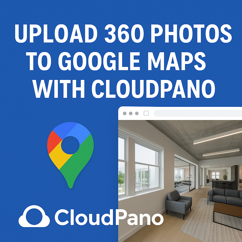
If you’ve ever wondered how photographers and business owners get their 360° photos onto Google Maps — and make them appear as immersive Street View tours — you’re about to learn exactly how it’s done. 🚀
In the past, uploading to Google Street View was a time-consuming, technical process involving stitching software, special metadata, and manual linking. But thanks to CloudPano’s seamless Street View integration, anyone can upload 360 photos and publish a fully navigable tour to Google Maps in just a few minutes. 🚀 Start your Google Street View business today — turn local maps into profit!
In this post, we’ll walk you through each step of uploading your 360 photos to Google Maps using CloudPano — plus give you tips for quality, branding, and visibility. A real estate video app makes it easy for agents to turn listing photos into high-quality videos that boost MLS visibility.
Before we dive into the steps, let’s cover why this matters.
Google Maps is the world’s most visited website. With over 1 billion users per month, it’s where most local business discovery happens.
When you add a 360° virtual tour to a business listing, customers can:
According to Google, listings with photos and virtual tours are twice as likely to generate interest and 29% more likely to lead to in-person visits.
And now, with CloudPano’s Google Street View integration, you can turn your 360° photos into a professional map listing upgrade — fast.
Read: Smart Marketing Strategies for Realtors Using Google Maps & Street View
The foundation of every great Street View upload is sharp, evenly lit 360° photos.
Here’s what you’ll need:
Make sure your camera is set to HDR or auto-exposure bracketing to balance lighting between interiors and windows.
Pro tip: Clean lenses matter! A single fingerprint can ruin an otherwise perfect pano. 🧼
Visit CloudPano.com and sign up for a free account.
Once logged in, you’ll see the dashboard, which is your control center for creating, editing, and publishing tours.
CloudPano offers:
No coding or plugins required.
Now it’s time to get your images online.
💡 Pro Tip:
Name each photo according to its physical location (e.g., “Lobby Entrance,” “Hallway North,” “Conference Room 1”). These names will help with Google’s mapping logic later.
After your photos are uploaded, you’ll want to connect them so users can “walk through” naturally.
CloudPano makes this simple:
You can also let CloudPano’s AI Auto-Link tool do the work — it detects which photos belong next to each other and connects them automatically. 🧠
A well-connected tour feels seamless, helping Google interpret the geometry of your space for accurate Street View placement.
Before publishing to Google Maps, you’ll need to attach business data to your tour.
In your CloudPano project settings, click the Street View tab.
You’ll be asked to provide:
This ensures your virtual tour is properly linked to the correct Google Maps listing.
If you haven’t yet claimed your business, visit Google Business Profile Manager and verify your location first.
To upload directly to Google Maps, you’ll need to authorize CloudPano to access your Google Street View account.
Follow these steps:
Once connected, your CloudPano dashboard will show a confirmation message and your account name.
Now, your 360° content can go straight from CloudPano to Street View — no manual uploads required. ⚡
You’re ready to go live!
Simply click “Publish to Google Street View.”
CloudPano will:
This process usually takes just a few minutes. Once approved, your virtual tour will appear directly inside your Google Business Profile under “See Inside.”
You’ll also see it appear in Google Maps when people click and drag the Street View pegman over your area.
🎉 Congratulations — your 360° imagery is now live for the world to explore!
Uploading your tour is just the beginning. To make sure it drives real results, follow these optimization tips:
If you manage multiple locations, you can repeat this process for each one and maintain a consistent branded experience.
Even though CloudPano automates most of the process, here are a few troubleshooting tips:
Once you publish successfully a few times, the process becomes second nature.
After uploading your 360° tour to Google Maps, you can repurpose it across other platforms.
Platforms like PhotoAIVideo.com and Pictastic.ai let you transform your 360° panoramas into:
That means the same photos you upload to Google Maps can now power your entire marketing strategy — saving time while maximizing visibility.
Read: The Ultimate Guide to Earning Extra Income with Google Maps & Street View
While Google offers a native Street View app, professionals prefer CloudPano because it’s:
For real estate photographers, digital marketers, or agencies managing multiple clients, CloudPano is the most efficient way to scale your Street View publishing business.
Let’s imagine you’re capturing a tour for a local café called Sunrise Coffee Bar.
Now, when customers search “Sunrise Coffee Bar near me”, they can literally step inside your café on Google Maps — seeing your cozy interior, menu board, and atmosphere before they visit. ☕✨
Uploading 360 photos to Google Maps doesn’t have to be complicated — CloudPano makes it easy, fast, and professional.
By following this step-by-step process, you can:
The best part? You can do it all in minutes — no editing software or technical setup required.
So grab your 360 camera, open CloudPano, and start publishing virtual tours that help your business stand out on the world’s most powerful platform: Google Maps. 🌍📸

Compact, ready to go anywhere
Interchangeable lens that’s upgradeable
Dual 1-inch sensors for improved clarity and low light performance
Dynamic range and 6K 360° capture
360° photo resolution at 21MP

8K 360° video recording for ultra-detailed visuals.
4K single-lens mode for traditional wide-angle shots.
Invisible selfie stick effect for drone-like perspectives.
2.5-inch touchscreen with Gorilla Glass protection.
Waterproof up to 33ft for underwater shooting.

360° photo resolution in 23MP
Slim design at 24 mm thick
Built-in image stabilization for smooth video capture.
Internal 19GB storage for photo and video storage.
Wireless connectivity for remote control and sharing.

60MP 360° still images for high-resolution photography.
5.7K 360° video recording at 30fps.
2.25-inch touchscreen for intuitive control.
USB Type-C port for fast charging and data transfer.
MicroSD card slot for expandable storage.
.png)
.png)

Try it free. No credit card required. Instant set-up.