Step-by-Step Drone Course for Real Estate Agents and Photographers

Cloudpano
December 2, 2025
5 min read
Share this post

Certified Drone Training: A Step-by-Step Drone Course for Real Estate Agents and Photographers

Introduction: Why Drone Training Matters More Than Ever ✨

The modern real estate market is more competitive—and more visual—than at any time in history. Today’s buyers expect cinematic listing presentations, aerial views of neighborhoods, dynamic property overviews, and immersive digital experiences. Because of this shift, real estate aerial photography has become a powerful marketing tool that dramatically improves listing performance.

Properties that include drone photography for real estate listings consistently see:

  • Higher click-through rates
  • More showing requests
  • Increased buyer engagement
  • Faster offers at stronger price points

As a result, demand for drone services for real estate is exploding nationwide. Real estate agents, photographers, and media professionals are now turning to certified drone training to learn how to fly safely, comply with aviation laws, and stand out in a crowded market.

Whether you want to expand your media offerings or start a profitable real estate drone photography business, investing in structured drone education is the smartest first step.

Why Real Estate Agents and Photographers Need Certified Drone Training ⚠️

Safety, Legal Compliance, and Professionalism

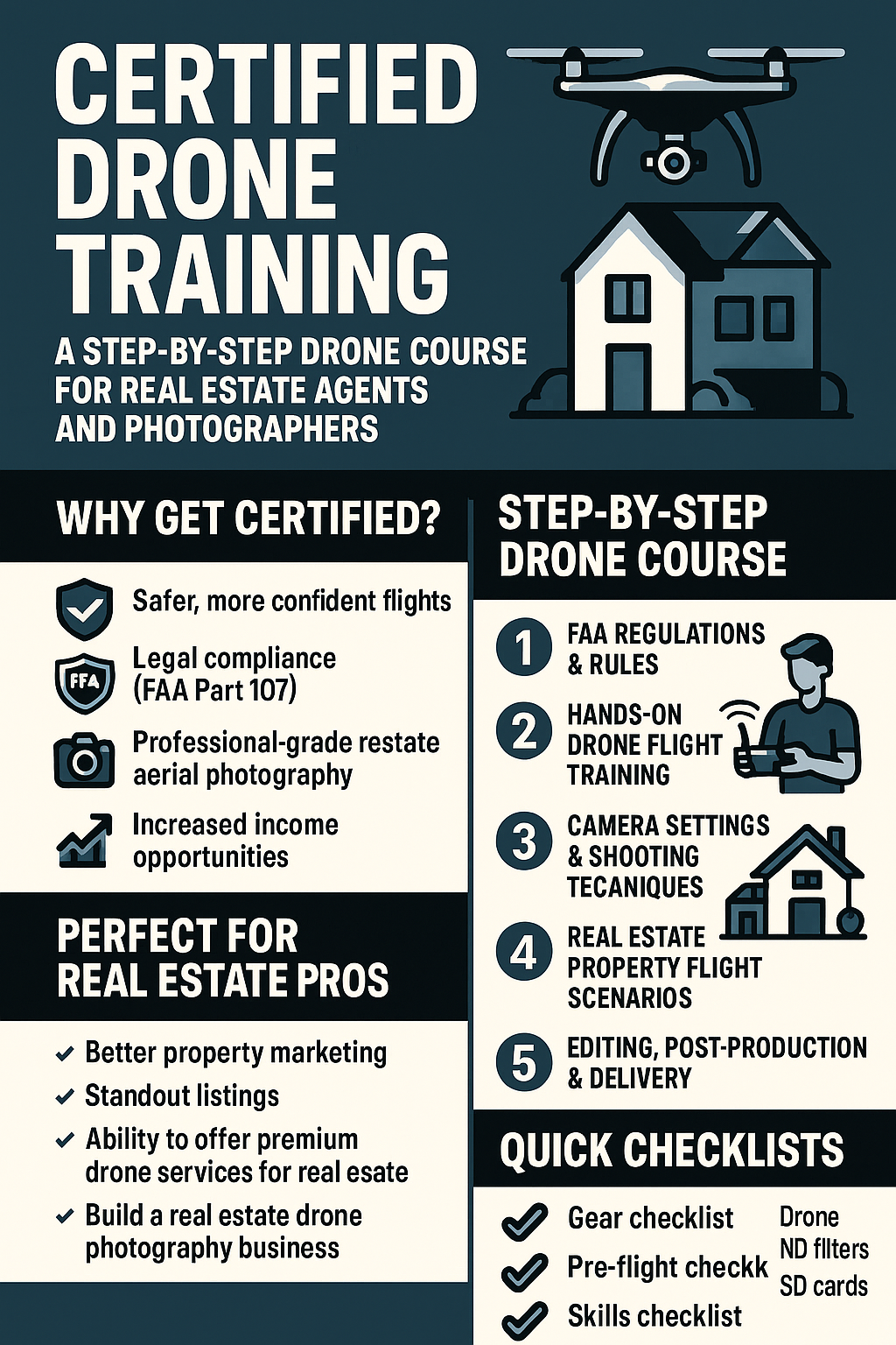
Flying a drone commercially without proper credentials isn’t just risky—it’s illegal. Anyone offering drone services must hold an FAA Part 107 certification, which ensures you understand:

  • Airspace classifications
  • Weather considerations
  • Flight restrictions
  • Emergency procedures
  • Drone maintenance and operational safety

Without certification, you can face fines, lose credibility with clients, or even cause accidents that damage property.

Certified drone training prepares you for the FAA test and teaches the foundational skills you need to operate confidently and professionally.

Building the Skillset Required for Real Estate Aerial Photography

Real estate imagery requires a unique combination of:

  • Cinematic composition 🎥
  • Stable flight control
  • Consistent exposure
  • Smooth tracking shots
  • Correct altitude and angle selection
  • Understanding of property layouts

A structured drone course for real estate agents ensures you learn everything you need to produce stunning marketing visuals that elevate property listings and impress clients.

Step-by-Step Drone Course Overview: What You’ll Learn

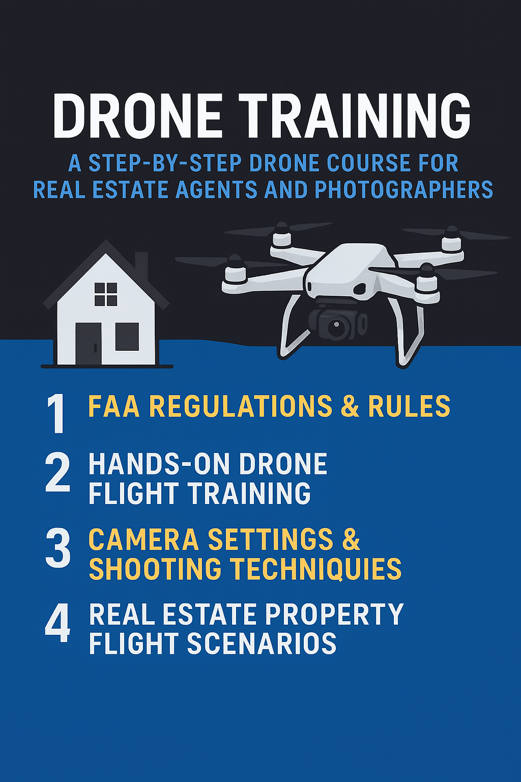
A high-quality drone course includes practical training, legal education, and real-world production skills. Below is a breakdown of what a professional program should cover.

Step 1: Understanding FAA Regulations + FAA Part 107 Certification 📘

This phase covers:

  • National Airspace System (NAS)
  • Weather patterns and METAR reports
  • Pre-flight requirements
  • Visual line of sight (VLOS) rules
  • Night operation procedures
  • Flying near airports

This is the regulatory foundation every commercial drone pilot needs. Passing the FAA Part 107 certification opens the door to legally offering drone services for real estate.

Step 2: Hands-On Drone Flight Training ✈️

Once you understand the rules, it’s time to fly. Hands-on training includes:

  • Basic takeoff and landing
  • Hovering stability
  • Obstacle avoidance
  • Smooth yaw/tilt control
  • GPS vs. manual mode
  • Emergency maneuvering

Expert flight training builds confidence and prepares you for real-world property shoots where conditions can vary.

Step 3: Camera Settings + Real Estate Photography Techniques 📸

This section teaches you how to create cinema-quality visuals:

  • Shutter speed, ISO, and aperture balance
  • ND filter usage
  • Optimizing exposure for bright exteriors
  • Golden hour shooting
  • Framing homes and lots properly
  • Avoiding harsh glare or dark shadows

You’ll also learn how to execute signature real estate aerial moves like:

  • Orbit shots
  • Push-ins
  • Reveal shots
  • Top-down overviews

These visuals elevate your drone photography for real estate listings and attract more buyers.

Step 4: Real-World Property Shooting Scenarios 🏡

This training simulates real client projects, including:

  • Small residential lots
  • Luxury homes
  • Commercial buildings
  • Acreage properties
  • Multifamily complexes
  • New developments and land parcels

You’ll learn how to assess flight constraints, plan your shooting path, and capture essential marketing shots for each property type.

Step 5: Editing, Post-Production & Delivering Polished Work 🖥️

Even the best footage needs post-processing. This section covers:

  • Color correction
  • Sky replacement techniques
  • Stabilization
  • Noise reduction
  • Highlight reels
  • Creating property overview videos
  • Exporting for MLS, YouTube, and social media

This final step transforms raw footage into polished marketing deliverables that clients love.

How Drone Training Enhances Real Estate Marketing 🎥

Creating Cinematic Aerial Tours

Aerial tours provide:

  • Sweeping neighborhood views
  • Bird’s-eye perspectives
  • Lifestyle-driven storytelling
  • Visual context buyers can’t get from ground photos

These videos dramatically increase listing engagement.

Boosting Listing Visibility and Buyer Interest

MLS and Zillow listings that include aerial visuals consistently rise to the top of search results and receive more interactions. Buyers spend more time watching videos and scrolling through aerial photos—signaling stronger intent.

Standing Out From Competitors

Agents who offer aerial media immediately differentiate themselves. Sellers perceive them as more innovative, more professional, and more equipped to market their home effectively.

Starting a Real Estate Drone Photography Business 💼

Launching a real estate drone photography business is an excellent opportunity for photographers, drone enthusiasts, and media entrepreneurs.

Here’s how to start strong:

Recommended Equipment 🧰

  • DJI Mini 4 Pro or Mavic 3
  • Extra batteries
  • ND filters
  • High-speed SD cards
  • Tablet or phone with sunshade
  • Landing pad
  • Backup drone (optional)

Certifications You Need

  • FAA Part 107 certification
  • Optional insurance (highly recommended)

Pricing Guidelines

Typical real estate drone packages range from:

  • $150–$300 for basic aerial photos
  • $300–$600 for photo + video packages
  • $600–$1,200+ for luxury or acreage properties

How to Market Drone Services for Real Estate

  • Offer bundle packages
  • Network with real estate brokerages
  • Join Facebook REALTOR® groups
  • Create a sample listing video to showcase your work
  • Provide first-time client discounts or trial packages

Tips for Building a Client-Ready Portfolio

  • Capture multiple property types
  • Show before/after edits
  • Include cinematic aerial videos
  • Highlight neighborhood and lifestyle shots
  • Display your FAA certification badge

SEO & Marketing Tips to Promote Your Drone Services 🔍

Local SEO Strategies 📍

Optimize your Google Business Profile:

  • Add photos regularly
  • Include keywords like “drone services for real estate”
  • List your service area
  • Collect client reviews

Social Media Content Ideas 📱

  • Behind-the-scenes flying clips
  • Before/after sky replacements
  • Short aerial reels
  • Luxury listing flyovers
  • Educational content about aerial photography

Video Marketing Tactics

  • Create YouTube walkthroughs
  • Publish property highlight videos
  • Use SEO-optimized titles and tags
  • Add calls-to-action at the end of every video

How to Attract Real Estate Teams & Developers

  • Attend local real estate events
  • Partner with home builders
  • Offer incentives for bulk shoots
  • Build relationships with marketing directors at brokerages

Checklists to Keep You Organized 📝

Gear Checklist

✔ Drone + controller
✔ 3+ batteries
✔ ND filters
✔ High-speed SD cards
✔ Landing pad
✔ Cleaning cloth
✔ Extra propellers

Skills Checklist

✔ Basic flight operations
✔ Orbit, reveal, and top-down shots
✔ Exposure and white balance
✔ Editing & color correction
✔ Airspace & safety knowledge

Pre-Flight Checklist

✔ Check weather conditions
✔ Confirm batteries are fully charged
✔ Inspect propellers
✔ Verify SD card storage
✔ Identify property boundaries
✔ Review airspace requirements

Read:

Looking for the Best Drone Business Book? Start With Drone Profit Secrets

Conclusion  🚀

Certified drone training is one of the smartest investments a real estate agent or photographer can make. It equips you with the skills to fly safely, comply with FAA regulations, and produce cinematic marketing visuals that help listings sell faster and for more money. Whether you want to enhance your marketing toolbox or launch a full real estate drone photography business, the opportunity has never been better.

Your all-in-one virtual experience solution starts here.

Share this post
Cloudpano

Choose The Right 360° Camera

Insta360 ONE RS 1-Inch 360 Edition

  • Compact, ready to go anywhere

  • Interchangeable lens that’s upgradeable

  • Dual 1-inch sensors for improved clarity and low light performance

  • Dynamic range and 6K 360° capture

  • 360° photo resolution at 21MP

Learn More

Insta360 X4

  • 8K 360° video recording for ultra-detailed visuals.

  • 4K single-lens mode for traditional wide-angle shots.

  • Invisible selfie stick effect for drone-like perspectives.

  • 2.5-inch touchscreen with Gorilla Glass protection.

  • Waterproof up to 33ft for underwater shooting.

Learn More

Ricoh Theta Z1

  • 360° photo resolution in 23MP

  • Slim design at 24 mm thick

  • Built-in image stabilization for smooth video capture.

  • Internal 19GB storage for photo and video storage.

  • Wireless connectivity for remote control and sharing.

Learn More

Ricoh Theta X

  • 60MP 360° still images for high-resolution photography.

  • 5.7K 360° video recording at 30fps.

  • 2.25-inch touchscreen for intuitive control.

  • USB Type-C port for fast charging and data transfer.

  • MicroSD card slot for expandable storage.

Learn More
Property Marketing
Allows potential buyers to explore properties in detail from anywhere, enhancing the real estate marketing process.
Automotive Spins
Create an interactive virtual showroom and engage affluent digital buyers with live 360º video calls, all through the CloudPano mobile app for a complete automotive sales solution.
Interactive Floor Plans
Create 2D and 3D floor plans with measurements in 4 minutes or less, all from your phone. Download the Floor Plan Scanner app and get your first scan free.

360 Virtual Tours With CloudPano.com. Get Started Today.

Try it free. No credit card required. Instant set-up.

Try it free
Latest posts

See our other posts

Interviews, tips, guides, industry best practices, and news.

How CloudPano’s Virtual Tours Work With Google Street View for Universities

This guide explains how universities can use Google Street View university tours together with CloudPano Street View to increase campus visibility, improve recruitment marketing, and create a modern tour ecosystem. It breaks down how CloudPano virtual tours connect with Google Maps and Street View, outlines best practices for capturing outdoor campus scenes, and shows how universities can embed CloudPano tours into their website as part of professional University Virtual Tour Services for better engagement and conversions.
Read post

How to Integrate Virtual Campus Tours With Your University Website

This guide explains exactly how universities can integrate virtual campus tours into their website for better recruitment, engagement, and SEO. It covers step-by-step best practices to embed virtual tours on a campus website, create indexable tour pages, organize multiple tours (housing, academics, athletics), improve mobile performance, and add CTAs for higher conversions. It also highlights key strategies for smooth CloudPano integration and how professional University Virtual Tour Services help universities deliver modern, immersive tour experiences.
Read post

Best Virtual Tour Features Universities Should Look For

This guide breaks down the best virtual tour features universities should look for when choosing a platform for recruitment, marketing, and campus storytelling. It covers must-have university virtual tour features like interactive 360 panoramas, mobile-friendly navigation, scene menus, hotspot linking, info spots, website embedding, branding options, accessibility considerations, and analytics—plus key CloudPano features that support scalable, high-converting University Virtual Tour Services.
Read post