


.png)

Real estate development moves fast — and so should your ability to track progress, manage stakeholders, and showcase results. That’s why builders, developers, and project managers are now turning to progress-based virtual tours powered by 360 photo documentation software. 📸🏘️
This isn’t just about flashy walkthroughs. It’s about creating a visual timeline that keeps your entire team and every stakeholder aligned — from groundbreaking to grand opening.
Let’s walk through how to create, update, and share progress-based 360 virtual tours that work just as hard as you do.
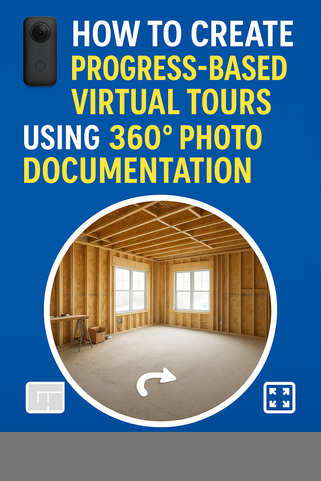
Progress-based virtual tours are interactive 360° walkthroughs that evolve over time. 🕒
Instead of publishing one final tour at project completion, you build a visual record — updated weekly or monthly — that shows site conditions, updates, and changes.
Each tour becomes a chapter in your project's visual history — and when stacked together, they tell the complete story of your build. This is especially powerful when integrated with 360 photo documentation software that automates capture, organizes your media, and helps you generate tours in minutes.
🔗 Want to see how this transformation works? Read: From Capture to Tour: How 360 Documentation Software Transforms Virtual Tours
To create progress-based 360 virtual tours, here’s your essential toolkit:
✅ 360 Camera – Ricoh Theta Z1, Insta360 One RS, or similar
✅ Tripod/Monopod – For consistent framing each time
✅ 360 Photo Documentation Software – Like CloudPano, OpenSpace, or DroneDeploy
✅ Tour Builder – Use CloudPano’s virtual tour editor for navigation, floor plans, and timestamps
✅ Cloud Storage – Google Drive, Dropbox, or internal servers for media backup
✅ Optional: PhotoAIVideo or Pictastic.ai for marketing versions
Choose key spots around your job site (e.g., entrances, living spaces, amenities, hallways) and mark them as your capture locations. Every week, return to those same spots and take 360° photos.
🛠 Pro tip: Use the same tripod height and angles to maintain consistency.
Using a tool like CloudPano, upload your 360 images into folders labeled by date or project phase.
You can also overlay floor plans and drop image hotspots directly on the blueprint to show exact locations of each capture.
For each update:
Use CloudPano’s “multi-tour” feature to showcase phases side-by-side if needed.
Send shareable tour links via:
No downloads or logins required — just immersive, clear, visual updates.
Once your property hits the market, use your archived 360° images to:
Turn your project documentation into conversion-ready content — with no reshoots needed. 💥
Let’s break down the value:
📆 Timeline Transparency – Visual record of each phase, from slab to finish
📤 Client Confidence – No more “trust us” — they see what’s happening
🧾 Inspection & Compliance – Use virtual logs as proof for permits or change orders
🤝 Fewer Site Visits – Replace client or investor walkthroughs with immersive tours
📈 Marketing Momentum – Document the journey and use it to sell
🔗 Dive deeper here: Streamline Your Virtual Tours with 360-Degree Documentation Software
✅ Residential Developers: Track and share construction updates with homeowners
✅ Multifamily Builders: Provide progress reports to investors and management companies
✅ Commercial Projects: Visually log safety, subcontractor work, and material status
✅ Flippers & Remodelers: Before/after visual comparisons for your portfolio
✅ Real Estate Brokers: Pre-market properties using authentic construction visuals
🔗 Explore more insights: Why 360 Documentation Tools Are Essential for Immersive Virtual Tours
✔️ Time-stamped photo log storage
✔️ 360° image compatibility
✔️ Floor plan overlays and scene markers
✔️ Multi-tour hosting or comparison
✔️ Easy sharing + cloud integration
CloudPano leads in simplicity and scalability, while DroneDeploy and OpenSpace are strong in mapping large commercial or construction sites. Don’t forget your marketing stack: PhotoAIVideo and Pictastic.ai make your visuals sell.
Progress-based virtual tours are the new standard in real estate development. They’re not just about showing — they’re about proving, tracking, and connecting.
With the right photo documentation software, you can transform your weekly 360 images into an evolving virtual asset — one that drives clarity, trust, and sales.
Build smarter. Communicate visually. And deliver projects that tell a story. 🏗️📸✨

Compact, ready to go anywhere
Interchangeable lens that’s upgradeable
Dual 1-inch sensors for improved clarity and low light performance
Dynamic range and 6K 360° capture
360° photo resolution at 21MP

8K 360° video recording for ultra-detailed visuals.
4K single-lens mode for traditional wide-angle shots.
Invisible selfie stick effect for drone-like perspectives.
2.5-inch touchscreen with Gorilla Glass protection.
Waterproof up to 33ft for underwater shooting.

360° photo resolution in 23MP
Slim design at 24 mm thick
Built-in image stabilization for smooth video capture.
Internal 19GB storage for photo and video storage.
Wireless connectivity for remote control and sharing.

60MP 360° still images for high-resolution photography.
5.7K 360° video recording at 30fps.
2.25-inch touchscreen for intuitive control.
USB Type-C port for fast charging and data transfer.
MicroSD card slot for expandable storage.
.png)
.png)

Try it free. No credit card required. Instant set-up.


