.png)

Ever wondered how those stunning, immersive 360° tours on Google Maps come to life? The kind where you can “walk” inside a store, explore a campus, or even peek inside a museum — all from your phone or computer? 💻📱 A real estate video app makes it easy for agents to turn listing photos into high-quality videos that boost MLS visibility.
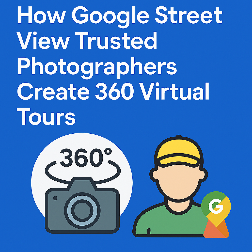
Behind every great virtual experience is a Google Street View Trusted Photographer — a certified expert who captures, stitches, and publishes professional-grade virtual tours for businesses, universities, and landmarks worldwide. 🌎 You can instantly transform your property photos with our 360-virtual staging tool powered by AI.
In this guide, we’ll walk through exactly how these photographers create 360° virtual tours, the tools they use, and how you can leverage their process (or become one yourself). ✨ Click below to start your journey — build your own profitable Google Street View business today!
A Google Street View Trusted Photographer is a certified professional recognized by Google for their skill in creating high-quality, georeferenced 360° imagery.
These experts help businesses and organizations publish immersive experiences directly onto Google Street View, giving millions of users a chance to explore locations virtually.
They’re often hired by:
💬 Think of them as the photographers who connect the physical world to the digital one.
Read: How to Start a Profitable Business with Google Maps and Google Street View
Every successful 360° virtual tour begins with meticulous planning.
Before shooting, photographers:
For example, a university tour might include the main entrance, student center, library, dorms, and classrooms — each connected visually for a smooth “walkthrough” experience.
💡 Pro Tip: Photographers use apps like Google Earth or Mapillary to pre-plan routes and ensure every photo is correctly geotagged later.
The magic starts with professional 360° cameras.
Common tools used by Street View photographers include:
Photographers set up the camera on a tripod at eye level, ensuring consistent perspective across all scenes. They typically take multiple panoramic shots — each capturing a full 360° sphere of the environment.
Each image is usually 12K+ resolution, providing crisp detail and accurate color even when zoomed in.
💬 A single 360° photo captures the entire scene — floor, ceiling, walls, and everything in between.
Once captured, the photos are imported into editing software for stitching — the process of merging multiple panoramic frames into one seamless 360° image.
Photographers ensure that:
💡 Precision is key here — a small alignment issue can ruin the illusion of immersion.
Before publishing, each image must be geotagged — meaning it’s linked to a specific location on Earth. 🌍
This step is critical for Google Maps integration.
Photographers use GPS-enabled cameras or manually add coordinates (latitude and longitude) using tools like:
💬 Accurate geotagging ensures your virtual tour appears exactly where it should on Google Street View.
To make the tour feel natural, photographers connect images using navigational arrows, allowing viewers to “walk” from one location to another.
In CloudPano or GoThru, this is done through an intuitive drag-and-drop interface:
💬 This step transforms static photos into an interactive experience — where users can freely explore.
Once the 360° tour is ready, it’s time to go live.
Many trusted photographers use CloudPano because it integrates directly with Google Street View, simplifying the upload process.
Here’s how they do it:
Within minutes, the tour appears live on Google Maps — linked to the business or institution’s location.
💬 CloudPano automates much of the heavy lifting, making the process fast and beginner-friendly.
Beyond basic navigation, professional photographers add custom branding and interactive elements to enhance the experience.
These features can include:
💡 A simple click on a hotspot can take a visitor from “just browsing” to “booking a visit.”
This level of interactivity transforms a standard Street View into a marketing powerhouse.
Before publishing the final version, every detail is reviewed carefully.
Google Street View Trusted Photographers check for:
They also make sure the virtual tour adheres to Google’s Street View Quality Standards, ensuring clarity, accuracy, and authenticity.
💬 A professional finish means the tour not only looks amazing but performs well in search too.
Once approved, the photographer publishes the virtual tour.
Here’s what happens next:
When users click “See Inside” or drop the yellow Street View icon onto the location, they can step right into the virtual space. 🏫📍
💡 It’s like teleporting — one click and you’re inside the building.
A great virtual tour deserves to be seen!
Once it’s published, photographers and their clients share it across multiple platforms:
This multi-channel approach drives traffic, increases time on page, and improves SEO rankings.
💬 Businesses with interactive tours get up to 50% more engagement than those with photos alone.
After the tour goes live, it’s time to measure performance.
Through Google and CloudPano analytics, photographers track:
This data helps improve future tours and gives clients measurable proof of ROI.
💡 For example, a university can see which campus areas students explore most — and tailor marketing materials accordingly.
Read: Google Street View & Maps: The Ultimate Marketing Strategy for Real Estate Agents
CloudPano has become the go-to software for Google Street View Trusted Photographers because it combines power, speed, and simplicity.
Here’s why pros love it:
💬 It’s the ultimate workflow: capture, upload, publish, promote — all in one platform.
If you’re a professional photographer or creative entrepreneur, becoming a Google Trusted Pro can open exciting opportunities.
From there, you can:
💬 It’s a growing field — and one where your creativity meets cutting-edge tech.
Virtual tours aren’t just a trend — they’re the future of how people explore, learn, and shop.
With AI, drones, and immersive VR, the line between digital and physical experiences continues to blur.
Tomorrow’s photographers won’t just capture reality — they’ll design experiences that feel alive.
And platforms like CloudPano will remain at the center of that movement, empowering creators and institutions alike to share their world — beautifully, interactively, and globally. 🌍💙
Google Street View Trusted Photographers are digital storytellers. 📖
They don’t just take photos — they create experiences that connect people and places across continents.
Whether it’s a bustling campus, a serene resort, or a local café, these professionals help the world explore — one 360° image at a time.
With tools like CloudPano, creating and publishing immersive tours is easier, faster, and more impactful than ever.
💬 So next time you explore a virtual space on Google Maps, remember: behind that experience is an artist with a camera — and a vision. 🎥✨

Compact, ready to go anywhere
Interchangeable lens that’s upgradeable
Dual 1-inch sensors for improved clarity and low light performance
Dynamic range and 6K 360° capture
360° photo resolution at 21MP

8K 360° video recording for ultra-detailed visuals.
4K single-lens mode for traditional wide-angle shots.
Invisible selfie stick effect for drone-like perspectives.
2.5-inch touchscreen with Gorilla Glass protection.
Waterproof up to 33ft for underwater shooting.

360° photo resolution in 23MP
Slim design at 24 mm thick
Built-in image stabilization for smooth video capture.
Internal 19GB storage for photo and video storage.
Wireless connectivity for remote control and sharing.

60MP 360° still images for high-resolution photography.
5.7K 360° video recording at 30fps.
2.25-inch touchscreen for intuitive control.
USB Type-C port for fast charging and data transfer.
MicroSD card slot for expandable storage.
.png)
.png)

Try it free. No credit card required. Instant set-up.