


.png)

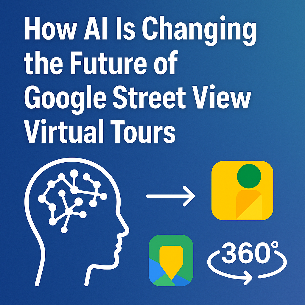
In just a few short years, AI technology has completely transformed how we capture, edit, and experience the world around us. One of the most fascinating applications of this transformation is in the world of Google Street View virtual tours. Once a manual, camera-heavy process limited to professional mappers, Street View has evolved into an intelligent, dynamic, and highly automated system that’s reshaping how we see and navigate the physical world. 🌎 Launch your virtual tour agency and get paid to put businesses on Google Street View!
From real estate and travel to local business marketing and infrastructure planning, AI-powered 360° virtual tours are changing everything — making it easier than ever to map, explore, and monetize physical spaces. Let’s dive into how artificial intelligence is driving this revolution and where it’s headed next. 🚀 With a real estate video app, agents can quickly produce professional listing videos that attract more buyers.
Read: Make Money Helping Local Businesses with Google Maps and Street View
In the early days of Street View, panoramic photography required specialized rigs, tripods, and manual stitching. Today, AI-powered image stitching algorithms can automatically detect edges, lighting, and depth to combine thousands of overlapping photos into seamless 360° environments — in seconds.
These tools analyze visual data pixel by pixel, correcting for exposure, motion blur, and alignment. The result? Crisp, connected, geo-tagged virtual scenes ready to upload to platforms like Google Maps or CloudPano.
Even smartphones can now create AI-assisted virtual tours, automatically linking capture points based on GPS and compass data. The future is less about technical skill — and more about creative storytelling and local insight.
Traditional Street View imagery relied on rigid capture paths and manual driving routes. With AI, that process has become far more intelligent.
Machine learning models can now predict optimal navigation paths for Street View capture based on traffic, lighting conditions, and user demand data. This means faster, more efficient mapping — especially in busy urban areas or large-scale projects.
For example, an AI mapping system can determine:
These optimizations not only save time and cost but also improve the viewer experience — giving users a smoother, more logical navigation flow.
AI isn’t just helping capture images — it’s also learning from them.
When you explore a Street View scene, every building, sign, or streetlight you see can be recognized, labeled, and categorized automatically using computer vision.
Google’s AI models now identify objects, text, and even business names on storefronts. This transforms ordinary imagery into interactive data layers, improving everything from Google Maps search accuracy to local SEO visibility.
For creators and photographers, this means fewer manual tags — and for users, it means more meaningful search results like:
“Find all coffee shops with outdoor seating within a 5-minute walk.” ☕
AI-powered metadata turns static imagery into living, searchable maps.
The same technology powering Google Street View is also empowering local businesses, real estate agents, and photographers to create their own interactive 360° tours.
Platforms like CloudPano, PhotoAIVideo, and Pictastic.ai make it simple to upload panoramas, add AI staging, and generate immersive experiences that mirror (and even surpass) Google Street View’s functionality.
Imagine this workflow:
AI removes the friction from every step — so instead of spending hours editing or aligning photos, creators can focus on marketing and storytelling.
One of the biggest challenges with Google Street View is keeping imagery up to date. Roads change, storefronts close, and new buildings rise.
AI is solving that too. Through a process called change detection, machine learning models can automatically compare new and old imagery to flag what’s changed.
When AI detects a new structure, business, or signage, it triggers an update workflow — ensuring that maps reflect the real world faster than ever.
In the future, we could see continuous, self-updating maps powered by drones and autonomous vehicles, feeding live data to Google Maps and partner platforms. 🛰️
Virtual tours are no longer just visual — they’re becoming multi-sensory experiences.
AI-driven voice narration and accessibility tools allow tours to describe surroundings automatically. For example, text-to-speech models can generate:
“You’re standing at the entrance of the Eiffel Tower. The view from here includes the Champ de Mars and the Seine River.” 🇫🇷
These accessibility layers open the door for users with visual impairments, and they also add a cinematic touch for marketing tours.
With the rise of AI voiceovers (like those available in PhotoAIVideo.com), creators can instantly add professional narration to any virtual walkthrough — no studio, no microphone, no editing required. 🎙️
Street View may look 2D, but it’s becoming increasingly 3D behind the scenes.
AI depth estimation models can now generate accurate 3D meshes from flat images. Using photogrammetry and neural rendering, systems reconstruct buildings, landscapes, and interiors — allowing for virtual reality (VR) experiences where users can move freely inside the environment.
These 3D reconstructions also benefit urban planning, insurance claims, and restoration projects, where teams need accurate measurements and visual context.
AI effectively bridges the gap between photography and spatial intelligence, turning imagery into actionable digital twins. 🌐
AI doesn’t just create tours — it learns from them.
Every virtual tour generates valuable engagement data:
This data can be processed through machine learning analytics dashboards, helping businesses understand what customers care about most.
Imagine knowing which property rooms attract the most interest or which street corners generate the most foot traffic. With AI, Street View isn’t just for exploration — it’s for optimization.
The next generation of Google Street View will likely feel customized for every user.
AI recommendation engines — similar to what powers YouTube or Netflix — can predict what scenes or businesses a user might want to explore next.
For example:
This personalization makes every virtual journey more meaningful — and much more profitable for advertisers and local companies.
In the past, creating branded virtual tours meant long editing hours in Photoshop or Premiere.
Today, AI can handle:
This is where platforms like Pictastic.ai and PhotoAIVideo.com shine. You can drag and drop property photos, apply AI motion effects, voiceovers, and instantly create studio-quality video tours — perfect for social media or embedding into a Google Maps listing.
AI turns what used to be technical work into creative leverage — helping photographers and marketers scale their business effortlessly.
Imagine a future where autonomous vehicles, drones, and IoT devices constantly feed imagery into the cloud.
AI systems clean, process, and upload these visuals in real time — meaning every map, every business listing, and every city view stays perpetually fresh.
This vision isn’t science fiction. Companies are already experimenting with:
The line between Google Street View and real-time simulation will blur — creating a mirror world where every inch of our planet is documented and searchable.
Read: Launch a Google Maps & Street View Service Business: What You Need to Know
AI is transforming Google Street View virtual tours from static snapshots into living digital ecosystems.
We’re entering a new era where capturing, editing, and publishing immersive spaces is faster, smarter, and more accessible than ever. Whether you’re a real estate photographer, local business, or mapping professional, embracing AI means staying ahead of the curve.
From auto-updating maps to personalized exploration, the fusion of AI and Street View is not just a technical upgrade — it’s a new way of experiencing our world. 🌍✨

Compact, ready to go anywhere
Interchangeable lens that’s upgradeable
Dual 1-inch sensors for improved clarity and low light performance
Dynamic range and 6K 360° capture
360° photo resolution at 21MP

8K 360° video recording for ultra-detailed visuals.
4K single-lens mode for traditional wide-angle shots.
Invisible selfie stick effect for drone-like perspectives.
2.5-inch touchscreen with Gorilla Glass protection.
Waterproof up to 33ft for underwater shooting.

360° photo resolution in 23MP
Slim design at 24 mm thick
Built-in image stabilization for smooth video capture.
Internal 19GB storage for photo and video storage.
Wireless connectivity for remote control and sharing.

60MP 360° still images for high-resolution photography.
5.7K 360° video recording at 30fps.
2.25-inch touchscreen for intuitive control.
USB Type-C port for fast charging and data transfer.
MicroSD card slot for expandable storage.
.png)
.png)

Try it free. No credit card required. Instant set-up.


