


.png)

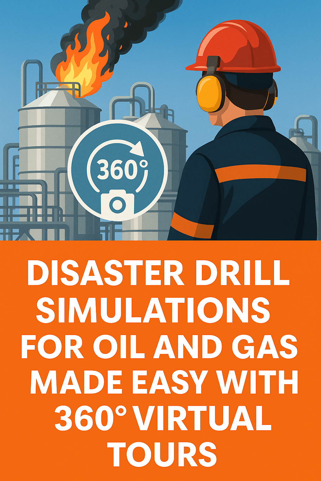
The oil and gas industry is no stranger to risk. From pipeline ruptures to offshore rig fires and refinery gas leaks, emergencies can happen fast — and the difference between chaos and control often lies in how well your team has trained 🧠.
Unfortunately, traditional disaster drills are expensive, logistically complex, and dangerous to replicate in real time. That’s where 360° virtual tours step in — offering a revolutionary way to simulate disaster scenarios safely, efficiently, and at scale.
In this post, we’ll break down how to build immersive disaster drill simulations using 360° virtual tour software, the benefits of virtual training, and real-world use cases in oil and gas safety 🛢️.
A 360° virtual tour is an immersive experience that allows users to visually “walk through” a space using panoramic imagery. Think Google Street View, but customized for your refinery, offshore platform, or pipeline control room 🚶♂️👷♀️.
When used with disaster simulation overlays, these virtual spaces become interactive training grounds — where your team can:
🔗 Related: Boost Oil and Gas Safety Drills with 360 Virtual Tour Technology
Let’s face it: running live drills at oilfields, tank farms, or offshore rigs is disruptive, expensive, and sometimes hazardous. Virtual tours allow you to:
💡 You’re not just saving money — you’re saving lives.
🔗 See: Why 360 Virtual Tours Are the Future of Emergency Training in Oil and Gas
Here’s how to set up your own 360° disaster simulation for your oil and gas team:
Use a 360° camera (like Insta360 or Ricoh Theta) to photograph:
Use a platform like CloudPano to upload your 360° photos and build the walkthrough. The interface allows you to:
Create virtual simulations of:
Make each step clickable and responsive. Add sound effects and visual overlays to simulate urgency.
🔗 Also read: Oil and Gas Emergency Response Scenarios Enhanced by Virtual Tours
Embed questions like:
Use multiple-choice or scenario-based quizzes to assess readiness.
Send your virtual simulation to field crews, contractors, and control room operators via secure links. Track:
Simulate the source of ignition, the spread path, and the safe response sequence for isolating the area.
Trainees learn to follow toxic gas protocols and PPE response via a virtual walkthrough — without real exposure.
Use 360° tours to walk through evacuation plans, from alarm triggers to lifeboat zones and heliport protocols.
🔗 Related read: Step Into Safety: 360 Virtual Tours for Oil and Gas Emergency Simulations
FeatureBenefit🔁 Repeatable TrainingReinforce safety procedures across global teams🧠 Increased RetentionLearners remember immersive training better💰 Cost SavingsNo need to shut down operations or stage props🌍 Remote AccessTrain contractors, vendors, and staff in any location📋 Compliance ReadyBuild training logs and audit trails
A midstream oil company implemented a CloudPano-based 360° disaster drill program for new pipeline techs. Results included:
Creating disaster simulations in 360° is easier than you think. All you need is:
With just a few clicks, you’ll be training teams more effectively, more affordably, and more safely — before disaster ever strikes.

Compact, ready to go anywhere
Interchangeable lens that’s upgradeable
Dual 1-inch sensors for improved clarity and low light performance
Dynamic range and 6K 360° capture
360° photo resolution at 21MP

8K 360° video recording for ultra-detailed visuals.
4K single-lens mode for traditional wide-angle shots.
Invisible selfie stick effect for drone-like perspectives.
2.5-inch touchscreen with Gorilla Glass protection.
Waterproof up to 33ft for underwater shooting.

360° photo resolution in 23MP
Slim design at 24 mm thick
Built-in image stabilization for smooth video capture.
Internal 19GB storage for photo and video storage.
Wireless connectivity for remote control and sharing.

60MP 360° still images for high-resolution photography.
5.7K 360° video recording at 30fps.
2.25-inch touchscreen for intuitive control.
USB Type-C port for fast charging and data transfer.
MicroSD card slot for expandable storage.
.png)
.png)

Try it free. No credit card required. Instant set-up.


