.png)

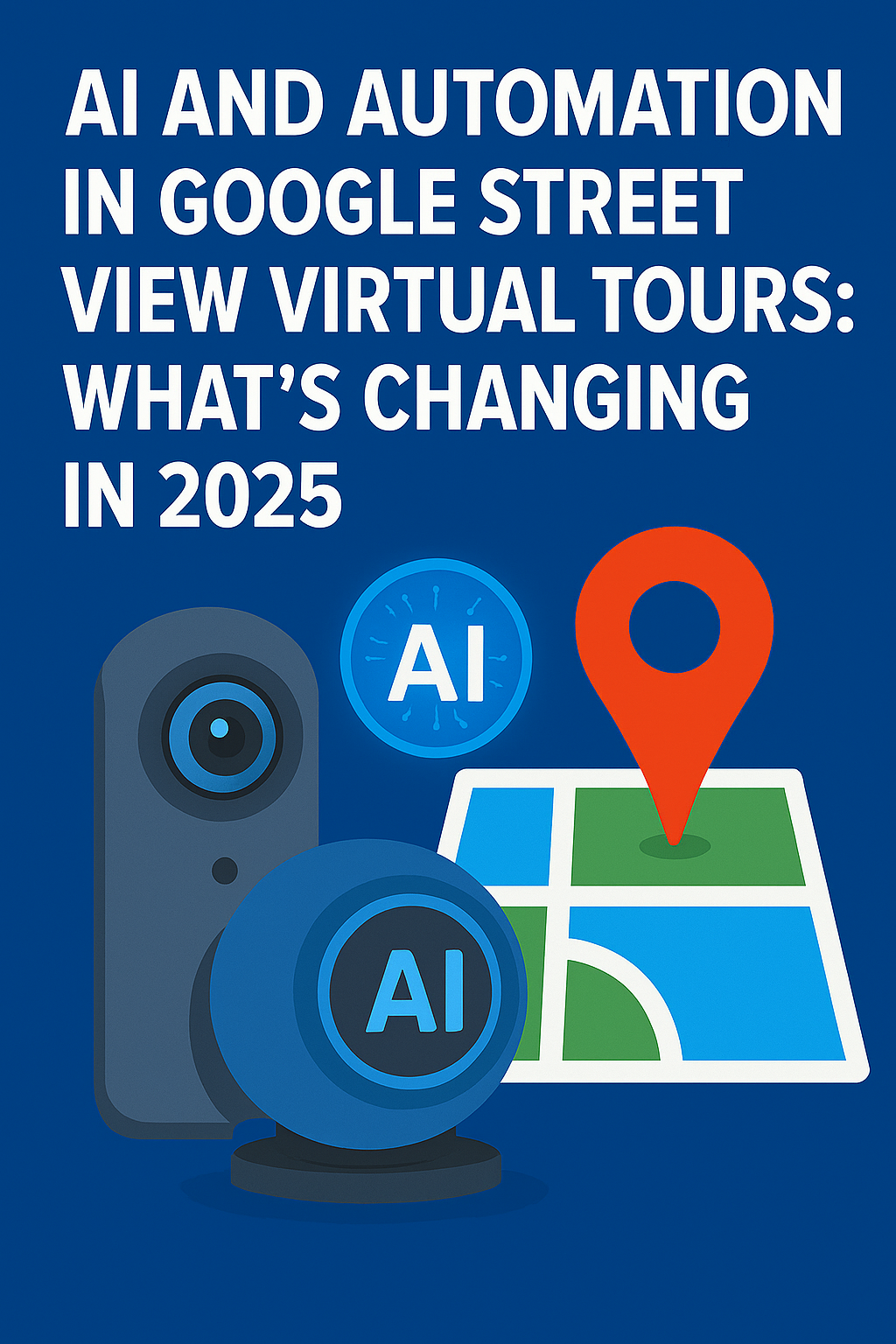
In 2025, the way we capture, process, and explore the world through Google Street View is transforming faster than ever — thanks to AI and automation. 🚀
What started as a few cars driving around with 360° cameras has evolved into a global, intelligent mapping system powered by artificial intelligence, drones, and machine learning. 🌎 Launch your virtual tour agency and get paid to put businesses on Google Street View!
From automated photo stitching to AI-driven 3D environments, the technology behind Street View is redefining how businesses, creators, and everyday users experience the digital world. With a real estate video app, agents can quickly produce professional listing videos that attract more buyers.
Let’s dive into how AI and automation are reshaping Google Street View virtual tours, what’s new in 2025, and how these advancements are creating massive opportunities for photographers, marketers, and local businesses alike. 🌎📸
When Street View first launched in 2007, it was a marvel of human effort.
Teams of photographers, drivers, and engineers manually captured and uploaded panoramas one city at a time.
Today, that process looks completely different.
AI and automation now handle most of the work — from detecting roads to correcting image distortion to publishing directly on Google Maps.
Here’s what’s changed:
✅ AI handles 360° photo stitching automatically — no manual editing needed.
✅ Machine learning identifies landmarks, signage, and addresses for mapping accuracy.
✅ Automated upload systems can instantly publish tours to Google Street View via platforms like CloudPano.
✅ Smart routing algorithms determine which streets and regions need updates.
Simply put, the world’s biggest visual map is now self-updating — powered by algorithms instead of people. 🤯
Read: How to Improve Local SEO with Google Maps and Street View Integration
AI is transforming 360° photography from a technical skill into a creative and automated process.
In 2025, advanced AI tools can:
That means faster production, higher quality, and less technical friction.
For photographers and business owners, this translates to:
💡 Less time editing, more time creating
💡 Easier Street View publishing with a single click
💡 Better SEO performance through optimized metadata
In essence, AI has made 360° photography accessible to everyone — not just professionals.
Before automation, publishing a Google Street View tour was complicated.
You needed to connect a GPS device, align all your photos, and manually link each viewpoint.
Now, platforms like CloudPano have completely automated this process.
Here’s what automation looks like today:
1️⃣ Upload your 360° images to CloudPano.
2️⃣ The AI automatically detects spatial relationships between each shot.
3️⃣ It builds an interactive walkthrough automatically.
4️⃣ With one click, it’s published directly to Google Maps and Street View.
No more hours spent linking scenes manually — automation handles the heavy lifting. 🧠💻
For business owners, this means they can focus on sales and storytelling, not software.
Google’s AI doesn’t just process photos — it enhances them.
In 2025, image recognition and machine learning models do more than just blur faces. They actually:
📷 Enhance color and clarity based on real-world lighting data
🏙️ Reconstruct missing or corrupted pixels with generative AI
🚙 Identify objects (cars, trees, storefronts) and label them
📍 Align geolocation metadata precisely to real-world coordinates
The result?
Sharper, more realistic, and more contextually accurate imagery — without human editing.
It’s not just a map anymore. It’s a digital mirror of reality.
One of the biggest breakthroughs in 2025 is real-time mapping.
AI systems now monitor live data from drones, smartphones, and local contributors to update Street View almost instantly.
Imagine this:
A new building goes up on Main Street — and within days, it appears on Google Maps, fully rendered in 360°. 🏗️
This real-time ecosystem relies on automation to:
Street View is no longer a static archive — it’s becoming a living, breathing map of the planet. 🌎
While AI handles automation, humans still play a key creative role.
Professional photographers, drone pilots, and agencies now use tools like CloudPano, Insta360, and Ricoh Theta to create local business tours that merge seamlessly with Google Maps.
These creators act as digital cartographers, capturing the world one property at a time.
With AI doing the technical work, they can focus on:
🎯 Storytelling — showing emotion, ambiance, and personality
💼 Branding — highlighting what makes each space unique
📈 Marketing — optimizing tours for SEO and conversions
AI enhances, not replaces, creativity.
Read: Boost Your Lead Pipeline with Google Maps and Street View Marketing
AI isn’t just changing how tours are created — it’s transforming how they’re analyzed.
Businesses can now use AI analytics to track:
By combining these insights with automation tools, business owners can refine their content strategy — making their Street View presence more effective and measurable than ever before.
For example, a restaurant could identify that most users view their dining room but skip the outdoor patio — and then update the tour to highlight that space better.
That’s data-driven marketing powered by visual AI. 🔍
Google’s vision for Street View is moving beyond flat panoramas.
By 2025, AI-generated 3D mapping is becoming standard.
Here’s what’s coming:
This means future Street View experiences will feel like walking through a fully immersive virtual world, not just scrolling through photos. 🌐
The line between Street View and virtual reality is fading fast.
Generative AI takes automation to an entirely new level.
Instead of manually stitching or linking panoramas, AI can now:
🧠 Create 360° environments from flat photos
🧠 Simulate lighting, shadows, and motion
🧠 Add missing angles or rooms automatically
Imagine uploading a few still photos of your office or store — and AI builds a full, explorable Street View tour.
This technology is already being tested by Google and 360° platforms, making content creation accessible to anyone with a smartphone. 📱
Of course, with automation and AI come new responsibilities.
Google continues to refine its privacy protocols to prevent misuse and ensure compliance.
AI systems automatically:
As AI gets more powerful, maintaining ethical standards in mapping becomes even more critical.
Transparency, consent, and accuracy are at the heart of the future Street View ecosystem.
So what’s next for Google Street View and AI-powered mapping?
Here’s a look at what’s coming by 2026 and beyond:
🚗 Self-driving capture vehicles — AI cars that map continuously without drivers.
☁️ Cloud-based live Street View — real-time 360° feeds of cities and landmarks.
🛰️ Satellite and drone fusion — merging aerial and street-level data into one seamless 3D view.
🎮 Virtual reality integration — exploring Street View with VR headsets.
🤝 Collaborative AI mapping — local contributors, businesses, and governments uploading in real time.
The world is becoming digitally explorable, and Street View will soon be the ultimate interface between reality and the metaverse. 🌐
AI and automation are rewriting the story of Google Street View.
What was once a manual project has become a self-improving global mapping network — fueled by human creativity and machine intelligence.
For creators, photographers, and business owners, the opportunity is huge:
✅ Capture faster
✅ Publish instantly
✅ Reach global audiences
And for users, the experience will continue to become smarter, smoother, and more immersive than ever before.
In 2025 and beyond, Street View won’t just show us the world — it will recreate it in breathtaking, intelligent detail. 🌍🤖✨

Compact, ready to go anywhere
Interchangeable lens that’s upgradeable
Dual 1-inch sensors for improved clarity and low light performance
Dynamic range and 6K 360° capture
360° photo resolution at 21MP

8K 360° video recording for ultra-detailed visuals.
4K single-lens mode for traditional wide-angle shots.
Invisible selfie stick effect for drone-like perspectives.
2.5-inch touchscreen with Gorilla Glass protection.
Waterproof up to 33ft for underwater shooting.

360° photo resolution in 23MP
Slim design at 24 mm thick
Built-in image stabilization for smooth video capture.
Internal 19GB storage for photo and video storage.
Wireless connectivity for remote control and sharing.

60MP 360° still images for high-resolution photography.
5.7K 360° video recording at 30fps.
2.25-inch touchscreen for intuitive control.
USB Type-C port for fast charging and data transfer.
MicroSD card slot for expandable storage.
.png)
.png)

Try it free. No credit card required. Instant set-up.