


.png)

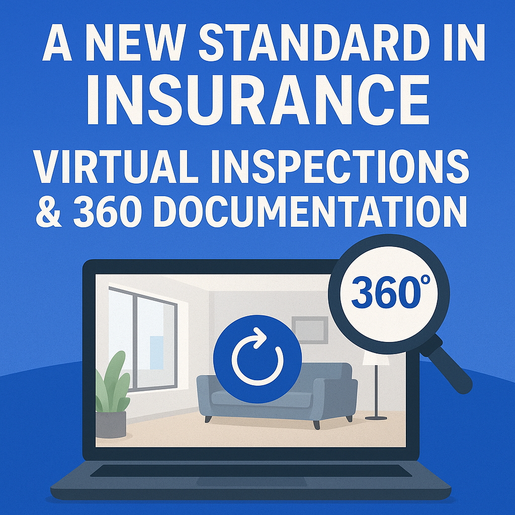
The insurance industry is evolving—and fast. With the increasing demand for transparency, speed, and accuracy in the claims process, traditional methods of inspections are being replaced. Enter 360° virtual inspections. 🔄 These immersive tools are transforming how insurance companies document, review, and resolve claims.
In this post, we’ll explore how 360 documentation software is setting a new standard for insurance inspections, with links to helpful guides and advanced strategies for deploying this tech at scale.
Inspections are the cornerstone of insurance assessments—but traditional methods can be slow, inconsistent, and prone to errors. With 360° photo documentation, adjusters and underwriters get an all-angle view of a property before and after a claim, improving accuracy and reducing disputes.
Thanks to platforms like CloudPano’s 360° documentation software, insurers now capture visual data in real-time, whether it's for a car accident, home damage, or a large commercial facility.
You might also like:
👉 Why Insurance Companies Are Adopting 360 Virtual Tour Technology
👉 Faster Insurance Approvals with 360 Documentation Software
The process is surprisingly simple:
This drastically reduces the need for in-person inspections, especially useful for catastrophe response zones or high-volume claims.
📘 Related: How Virtual Tours and 360 Documentation Are Transforming Insurance Claims
Speed is everything in insurance. Delayed claims hurt client relationships and cost insurers money. With interactive 360° documentation, adjusters can inspect a site within minutes of the photos being uploaded. No scheduling hassles. No travel costs.
When you bring immersive visuals into the claims process, everyone wins—policyholders, inspectors, legal teams, and senior management.
For example, when disputes arise, a 360° visual record can eliminate doubt and provide indisputable documentation. Insurers can also use this data to:
A leading insurance carrier used CloudPano’s 360 photo tools to document a hurricane-impacted apartment complex. Instead of dispatching multiple inspectors over days, they used a single walkthrough to capture a complete tour of the site.
Within hours, claims were approved—and delays avoided. The claims team cited the interactive virtual tours as “a game-changer for field operations.”
The best part? Once the system is set up, scaling is easy. Teams can onboard new adjusters faster, standardize inspection formats, and keep a digital paper trail for compliance.
Departments across the organization—marketing, risk, legal, and operations—can all tap into the same visual data set. Say goodbye to siloed workflows.
The insurance industry is no stranger to disruption. As claims volumes grow and policyholder expectations evolve, companies that embrace 360° virtual inspections will stand out.
Ready to bring speed, clarity, and scalability to your inspection process?

Compact, ready to go anywhere
Interchangeable lens that’s upgradeable
Dual 1-inch sensors for improved clarity and low light performance
Dynamic range and 6K 360° capture
360° photo resolution at 21MP

8K 360° video recording for ultra-detailed visuals.
4K single-lens mode for traditional wide-angle shots.
Invisible selfie stick effect for drone-like perspectives.
2.5-inch touchscreen with Gorilla Glass protection.
Waterproof up to 33ft for underwater shooting.

360° photo resolution in 23MP
Slim design at 24 mm thick
Built-in image stabilization for smooth video capture.
Internal 19GB storage for photo and video storage.
Wireless connectivity for remote control and sharing.

60MP 360° still images for high-resolution photography.
5.7K 360° video recording at 30fps.
2.25-inch touchscreen for intuitive control.
USB Type-C port for fast charging and data transfer.
MicroSD card slot for expandable storage.
.png)
.png)

Try it free. No credit card required. Instant set-up.


